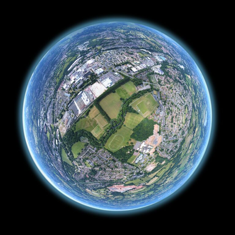
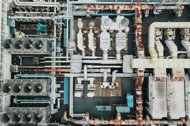
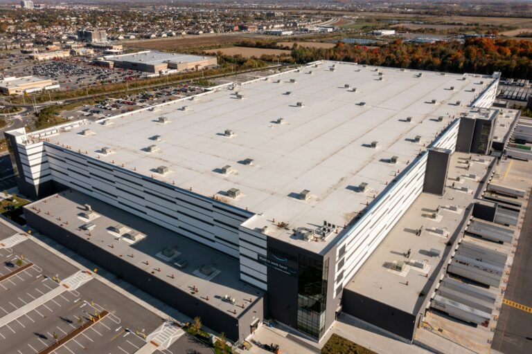
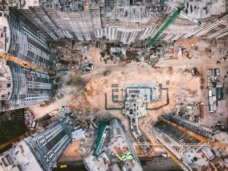
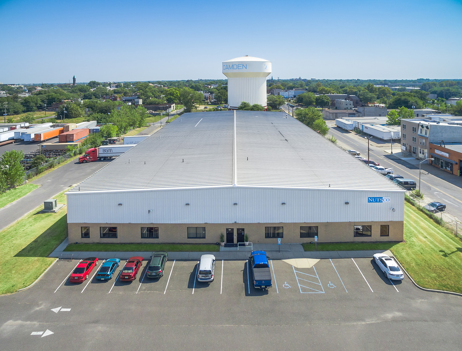
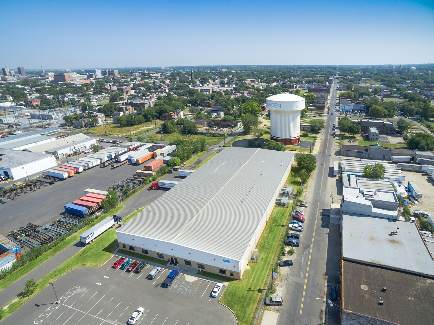
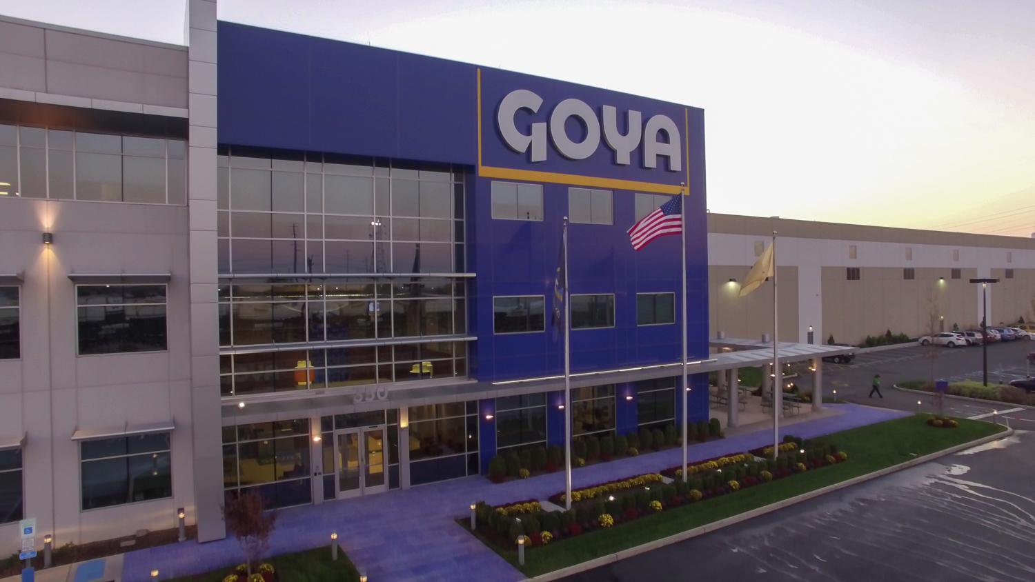
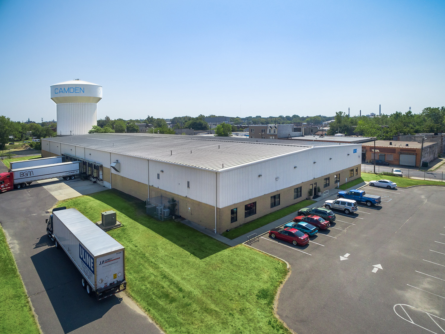
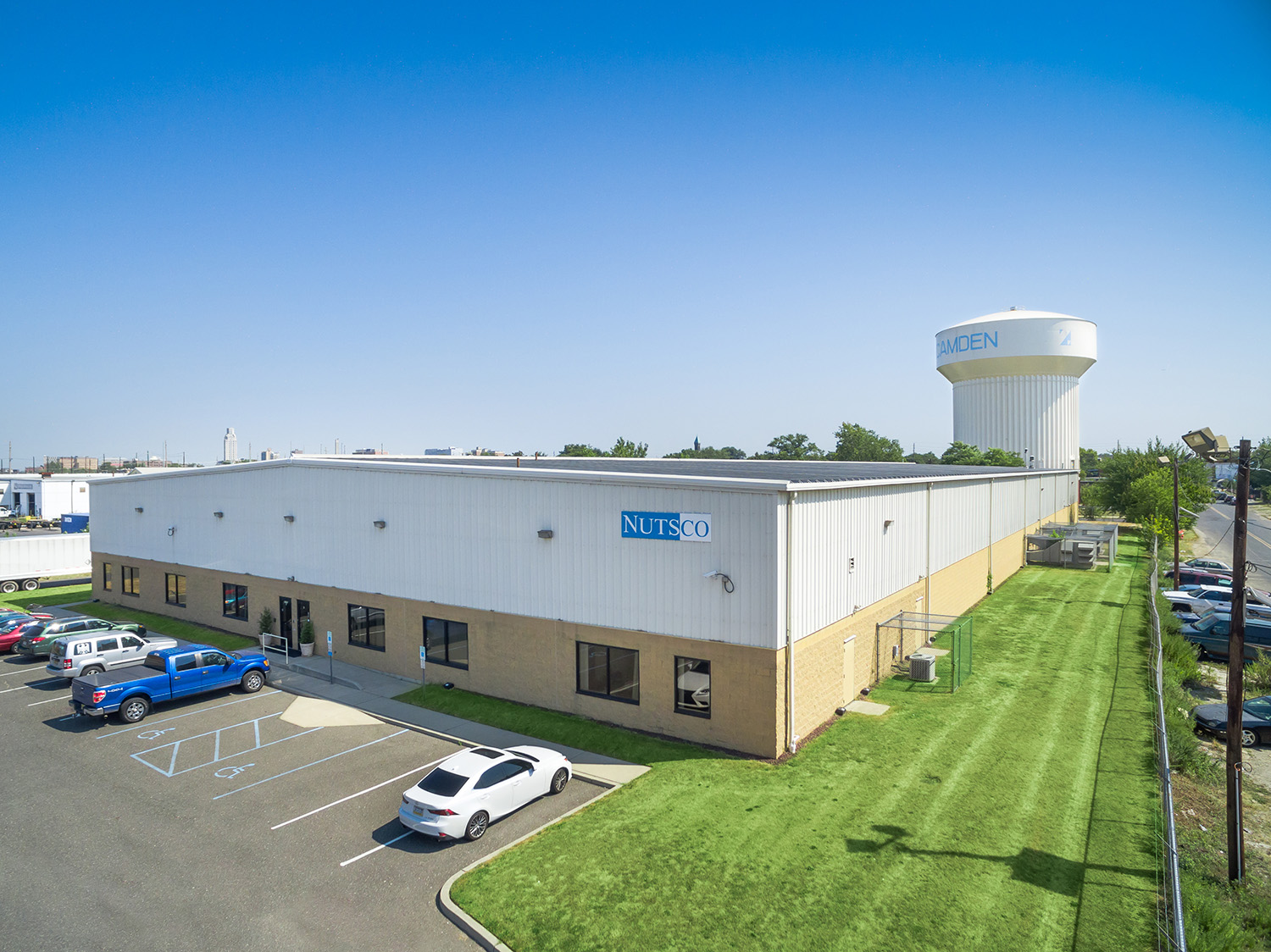
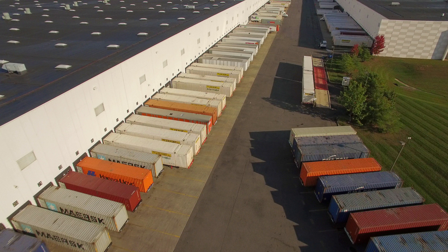
Your whole facility, seen clearly, from one flight.
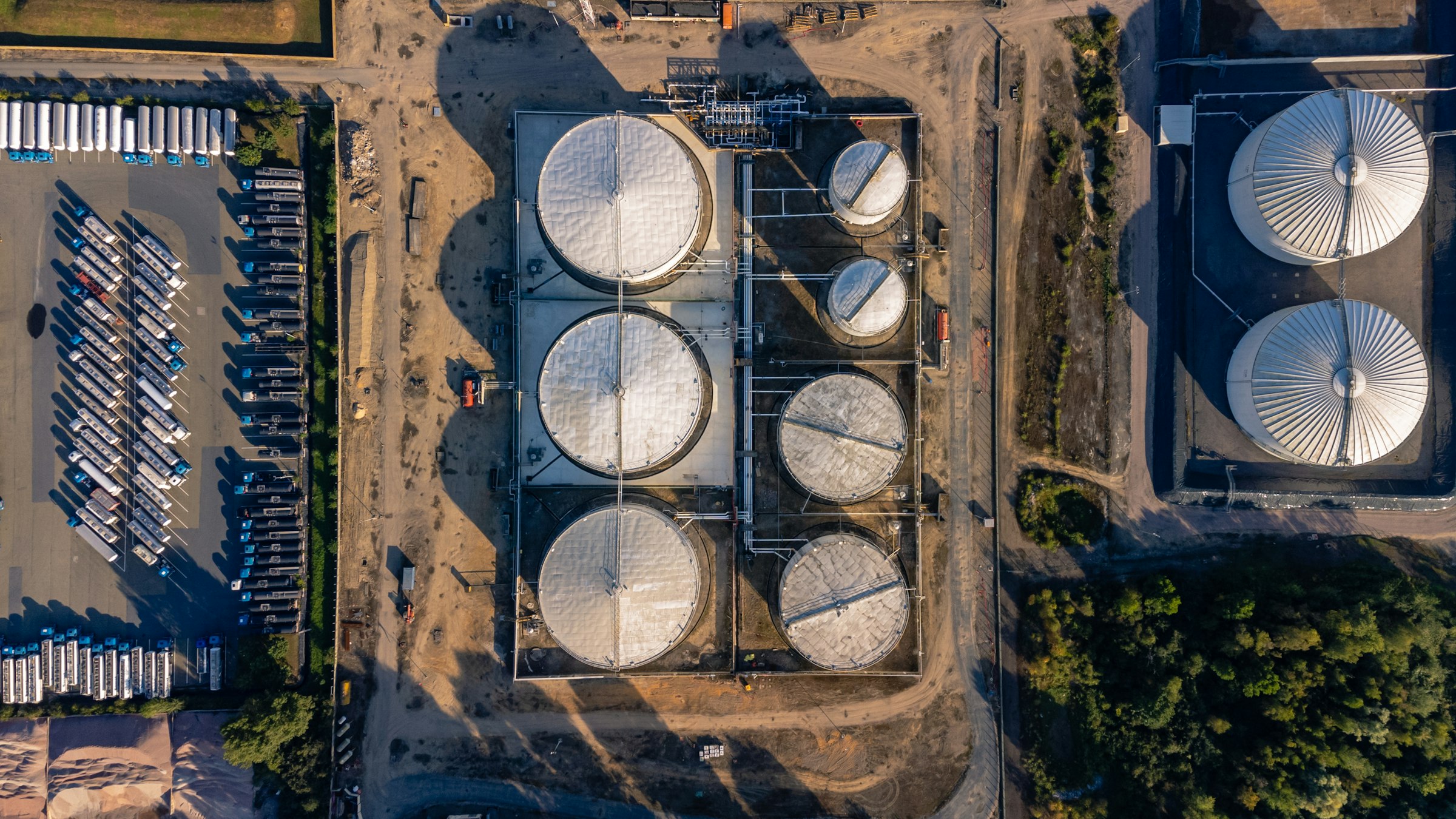
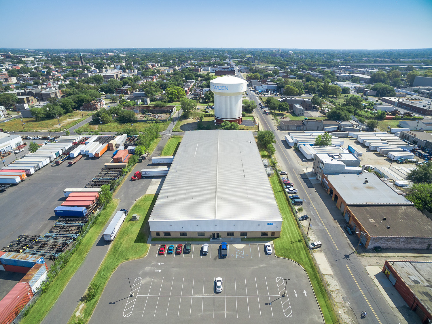
Industrial sites are too big, too spread out and too restricted to document from the ground. One aerial session captures the whole footprint: tank farms, pipe racks, loading docks, rail spurs and the waterfront, without stopping operations or putting anyone on a ladder. Sky View Pros flies terminals, plants, warehouses and distribution centers across New Jersey. We deliver marketing-grade photos and video, interactive 360° virtual tours, and mapping you can measure. FAA Part 107 licensed, fully insured, flying New Jersey since 2012.
High-resolution stills of the full site and key assets, for marketing, leasing, investor decks and records.
Cinematic flyovers that show scale, access and logistics in under two minutes.
Let stakeholders “walk” the site from anywhere, with no badges, escorts or travel.
One true-to-scale map of the whole property, current as of the day it’s flown.
Close-up visuals of roofs, tanks and structures without scaffolding or downtime.
Dated, repeatable aerial records of new builds and upgrades.
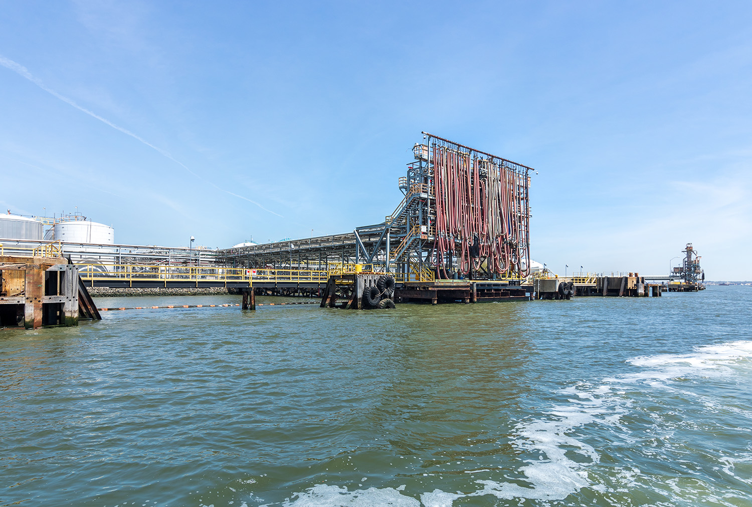
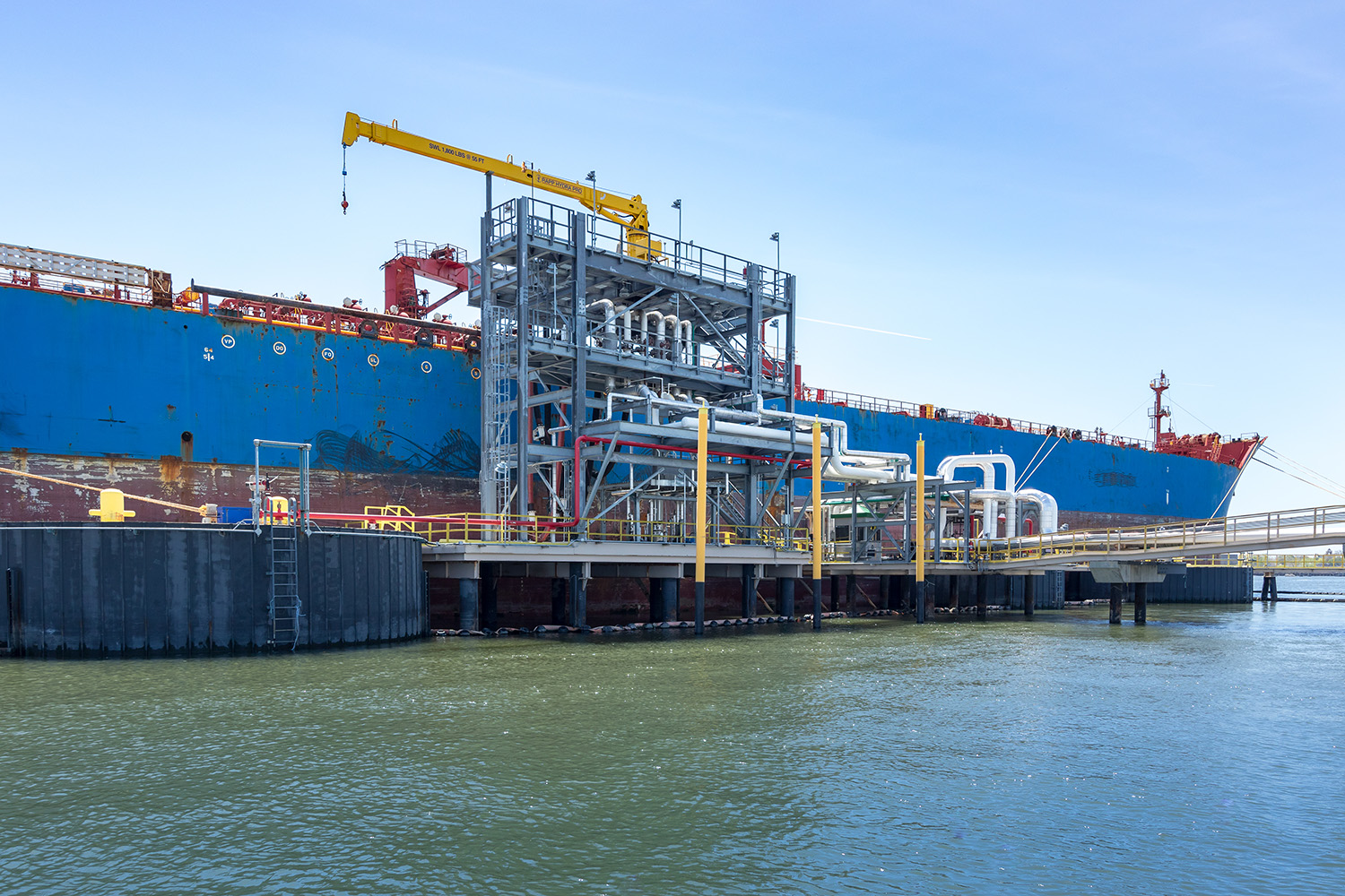
We documented IMTT’s Bayonne, NJ terminal from the air, with drone photography and an interactive virtual tour that lets viewers explore the facility from any device. Explore it below.
Every project is planned and flown by the principals of Sky View Pros, start to finish. The people you talk to are the people in the air, and we work around every one of your site’s requirements.
You tell us the site, the assets and what the imagery is for.
We handle airspace authorizations and work around your site’s access and safety requirements.
One efficient session, scheduled around operations.
Edited photos, video, the tour and maps, in the formats your team uses.
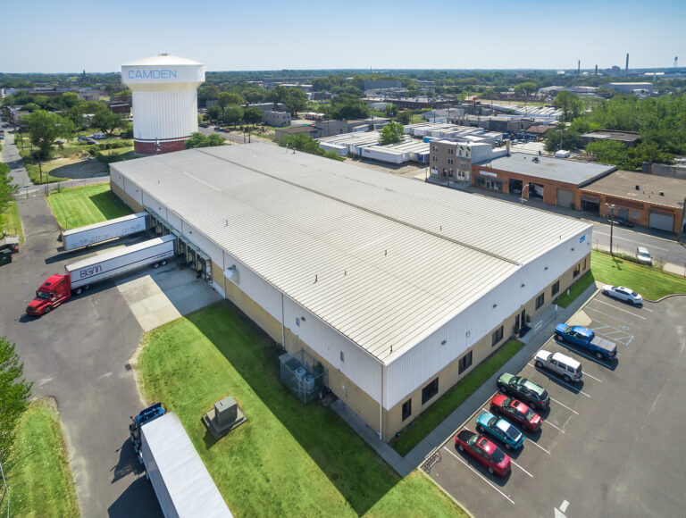
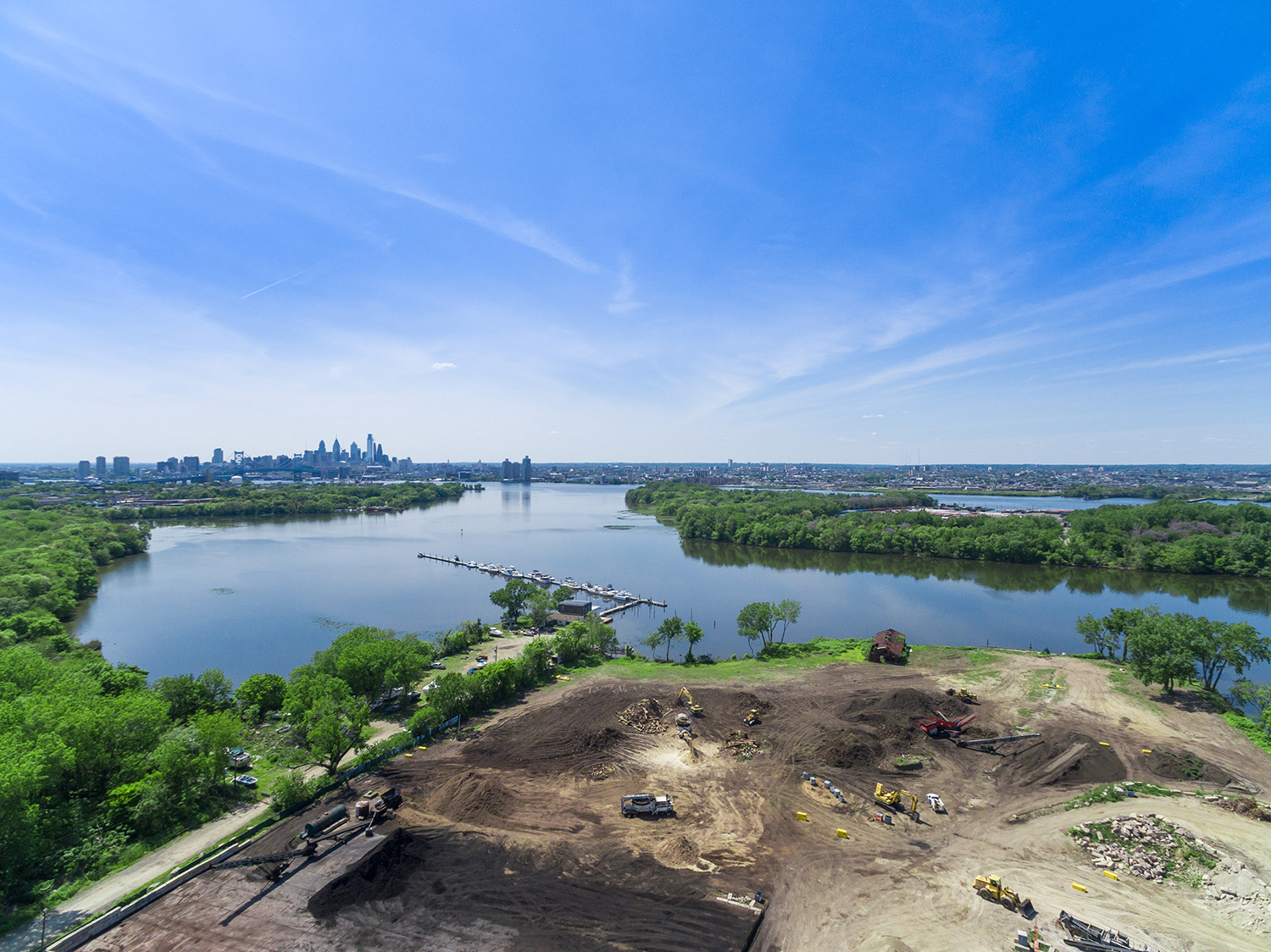
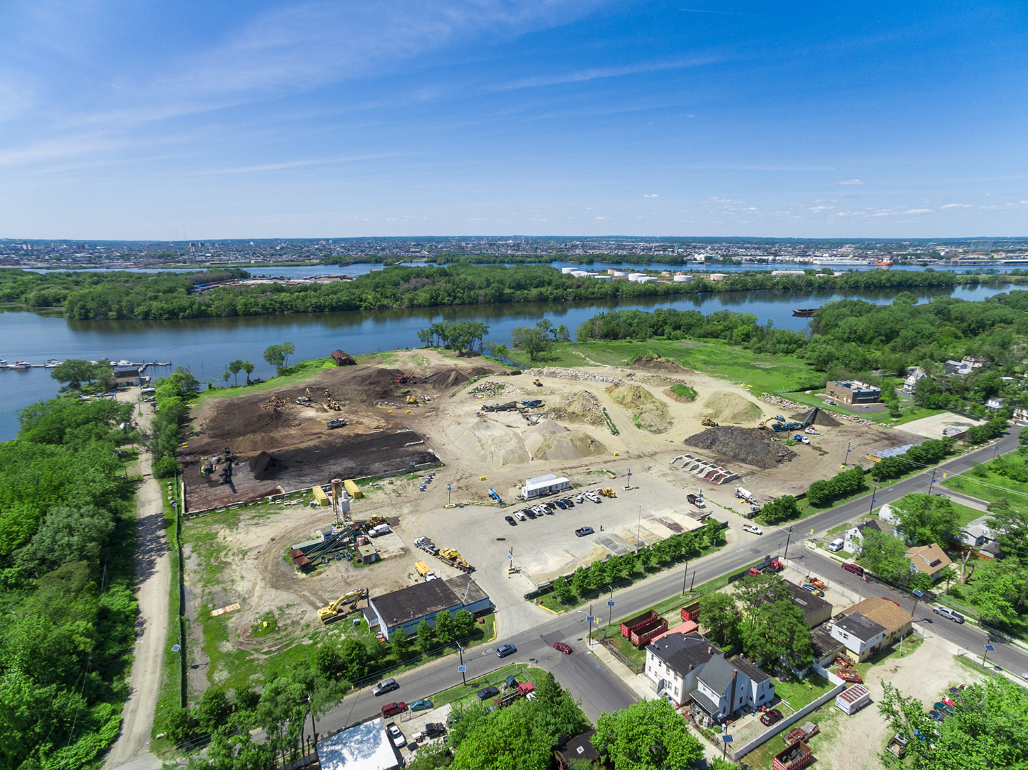
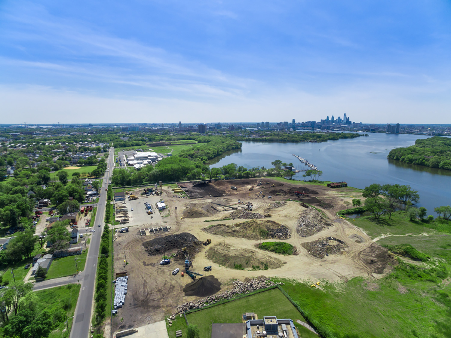
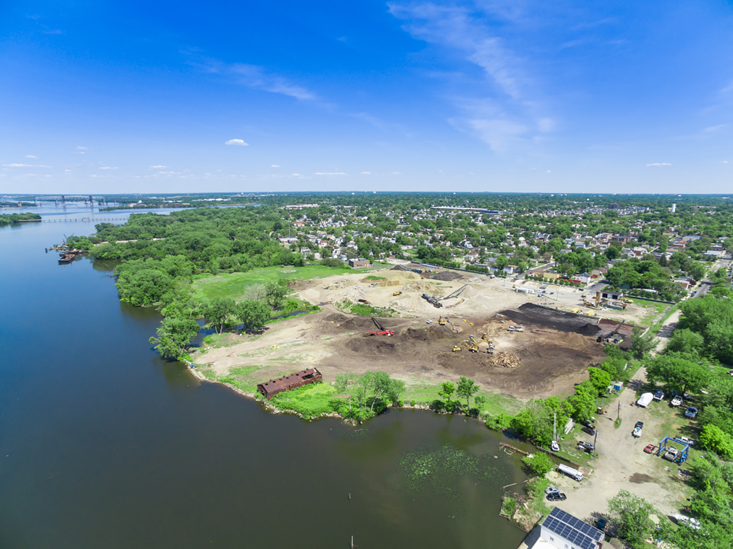
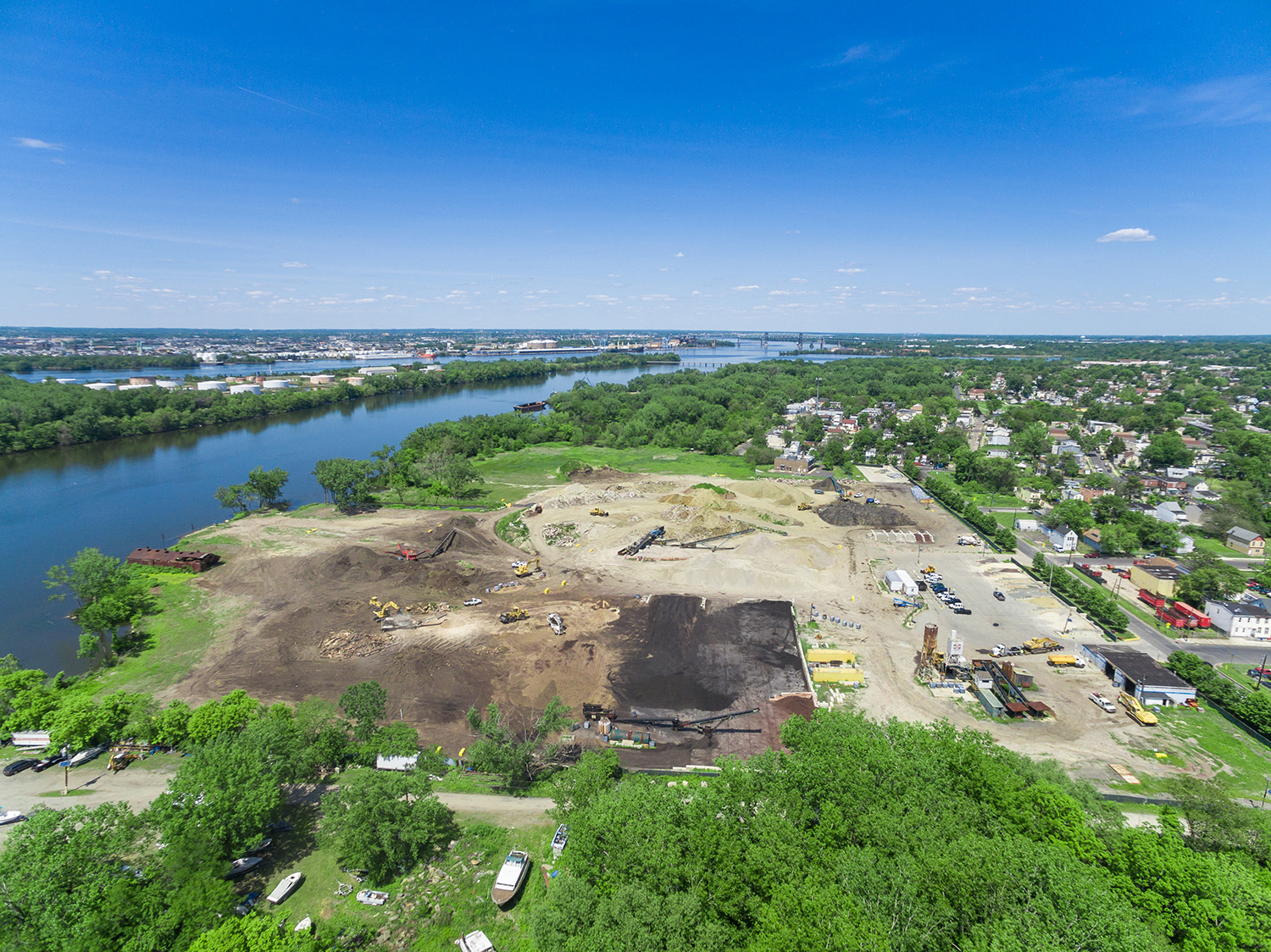
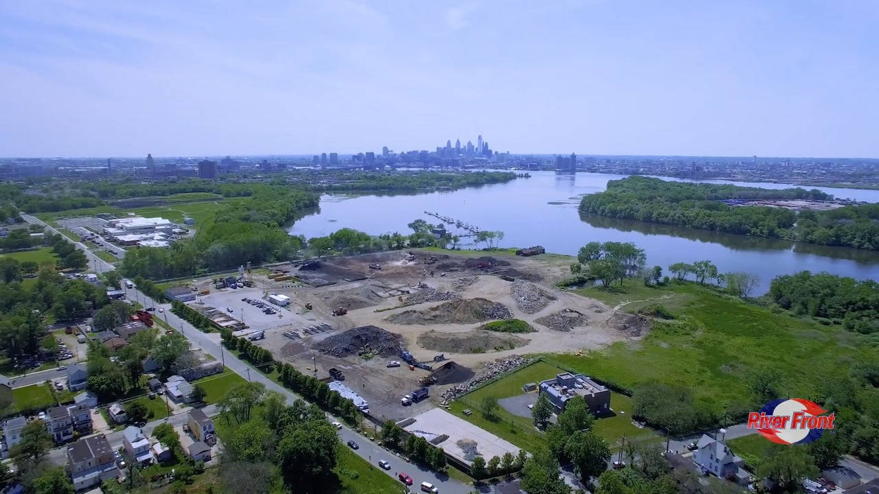
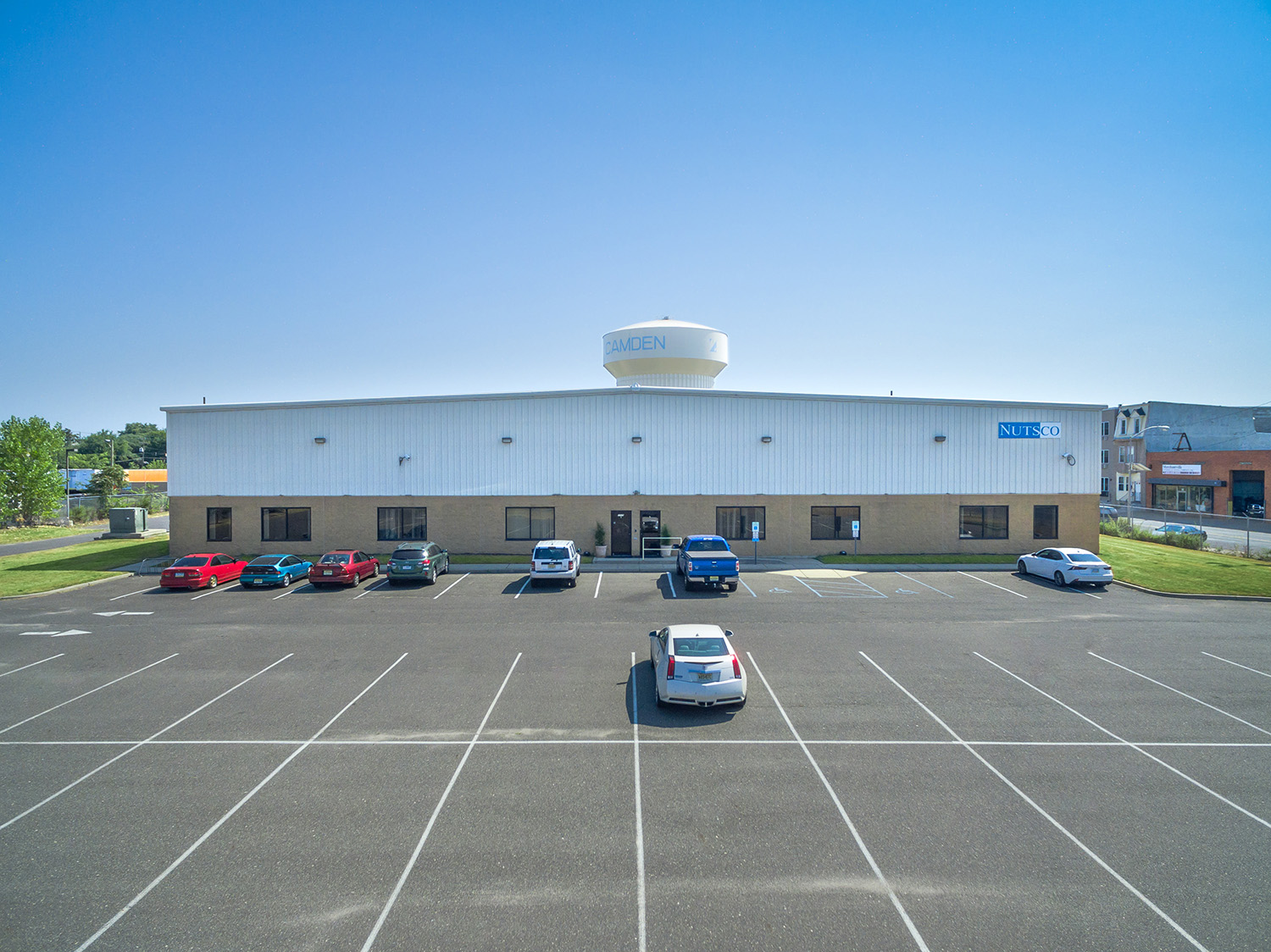
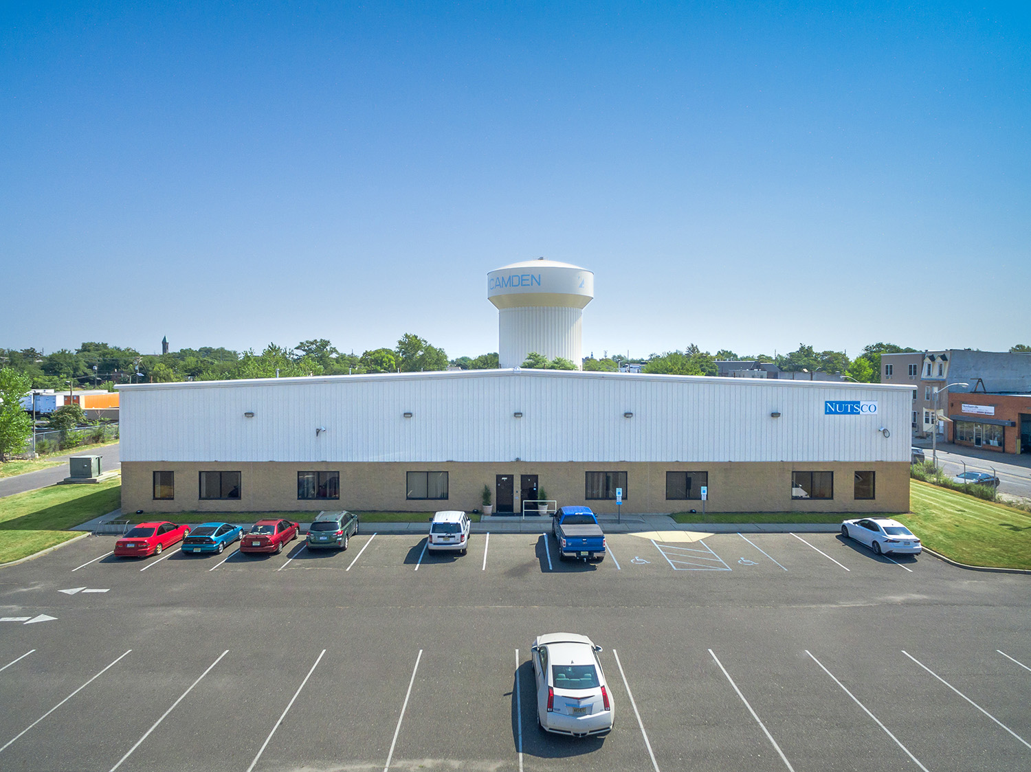
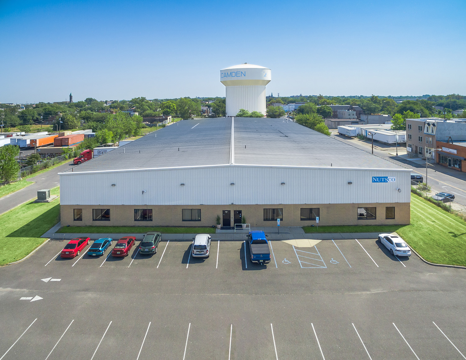
Marine terminals in Bayonne, riverfront operations in Camden and warehouse properties across the state, all flown by Sky View Pros.
Yes. Flights are planned around operations, and we coordinate in advance with your site contact on access, timing and restricted zones.
Yes. Many New Jersey industrial corridors sit near controlled airspace, and we secure the required authorizations before we fly.
A single session can produce photos, video, a 360° tour and a mapping dataset: one mobilization yields multiple finished products.
It’s mapping-grade, with a higher-accuracy tier available using ground control points. It is not a substitute for a licensed land survey.
We serve all of New Jersey, from the Bayonne and Linden waterfronts to South Jersey.
Tell us about your facility and what you need to show, and we’ll handle the flight, the authorizations and the deliverables.
Got questions? Ideas? Fill out the form below & our specialist will contact you.