Drone Mapping & Orthomosaic Services in New Jersey
Your site, turned into one measurable, current, shareable image.

Sharper and more current than satellite imagery
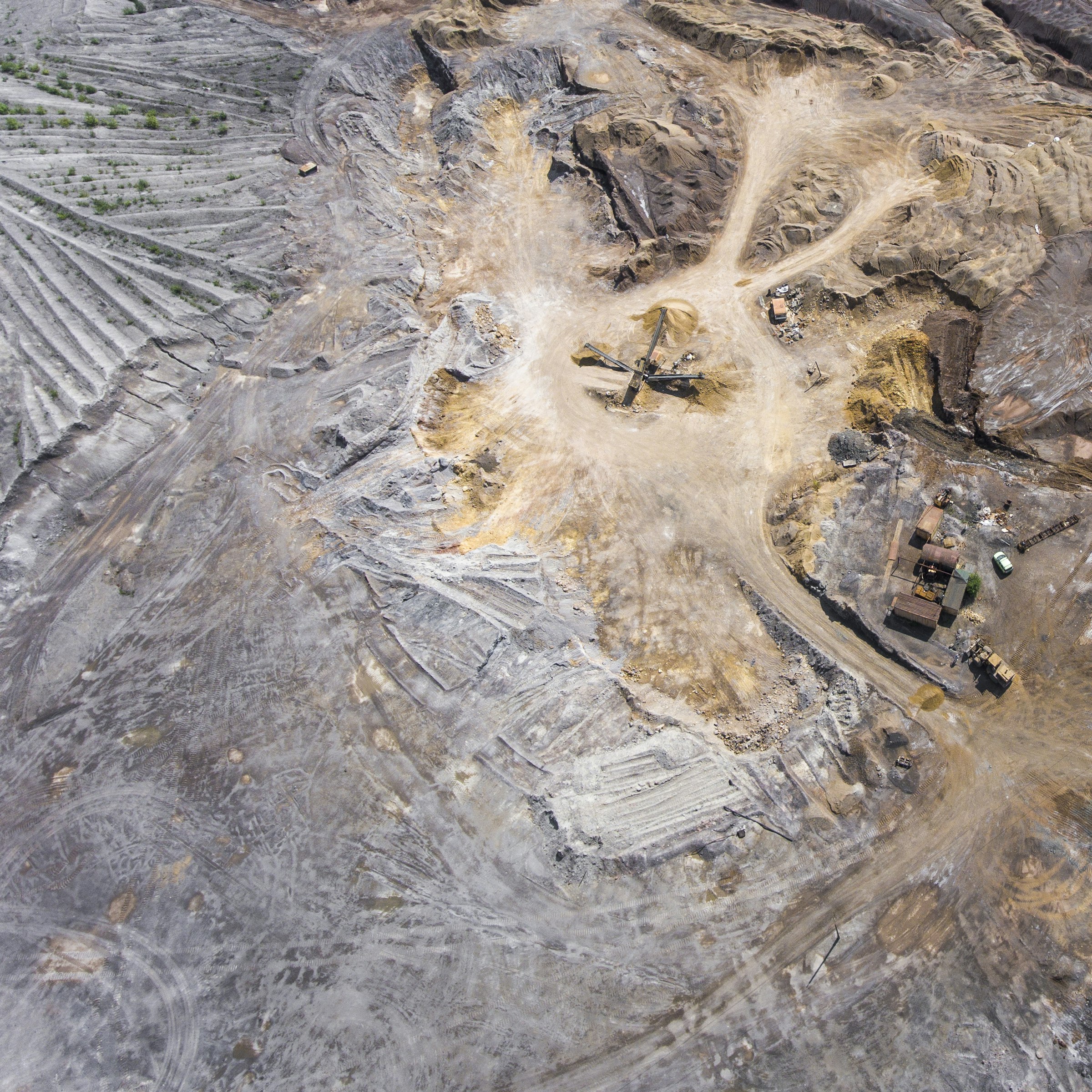
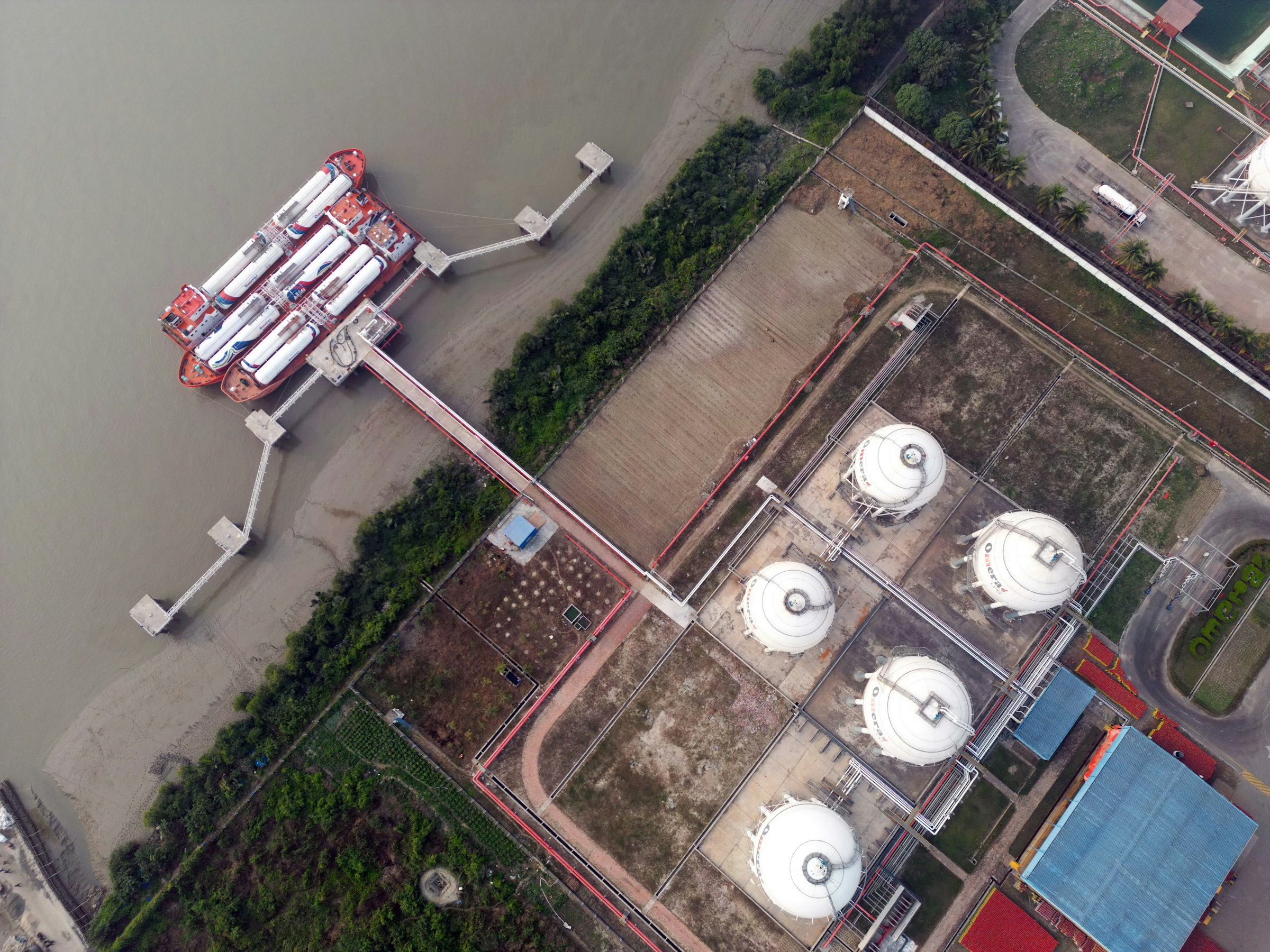
Satellite imagery is months or years old and too soft to work from. A drone-flown orthomosaic is different: hundreds of overlapping aerial images merged into a single, seamless, true-to-scale map of your entire property — sharp enough to see pavement cracks, and current as of the day it’s flown. Distances and areas can be measured directly on the map, and it’s delivered as a georeferenced GeoTIFF that drops straight into GIS and CAD software, plus print- and web-ready versions for presentations. We map everything from one-acre commercial lots to industrial terminals — for developers, civil engineers, construction teams, facility managers, solar installers, and municipalities across New Jersey.
- Georeferenced GeoTIFF for GIS and CAD
- JPG and PNG for print and web
- DXF and SHP contours for CAD
- PDF exports for sharing
Drone mapping services across New Jersey
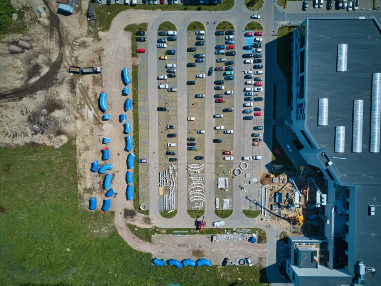
Orthomosaic 2D maps
The foundation deliverable: one seamless, true-to-scale aerial map of the whole property, with distances and areas measurable right on the map.
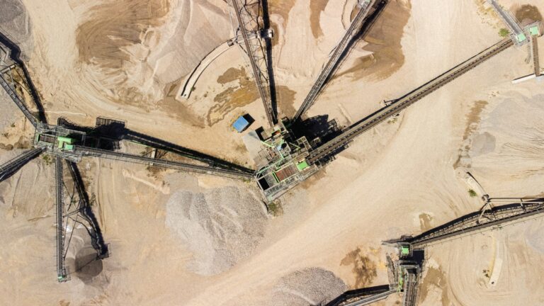
Stockpile volume measurement
Cubic yards per pile, and tons using your material’s density. No pile-climbing, no yard shutdown, and repeatable monthly or quarterly so inventory stays comparable.
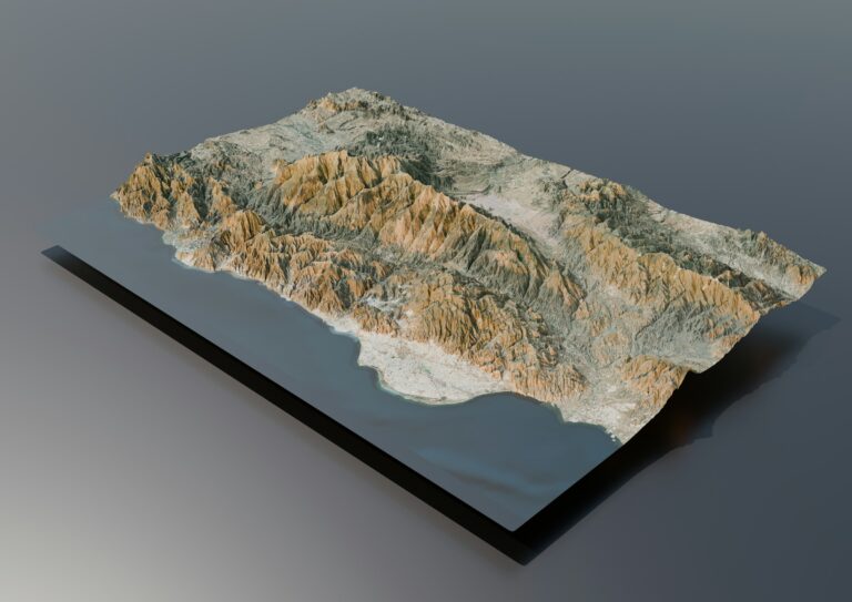
Elevation & topographic data
Surface and terrain models, DXF and SHP contours for CAD, and visuals that show drainage and grading at a glance.
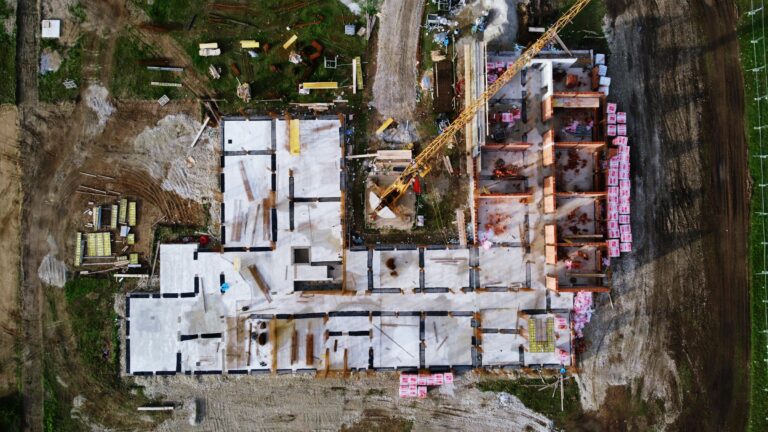
Recurring construction progress mapping
The same flight on a schedule gives you a dated, comparable record of the build from groundbreaking to completion.
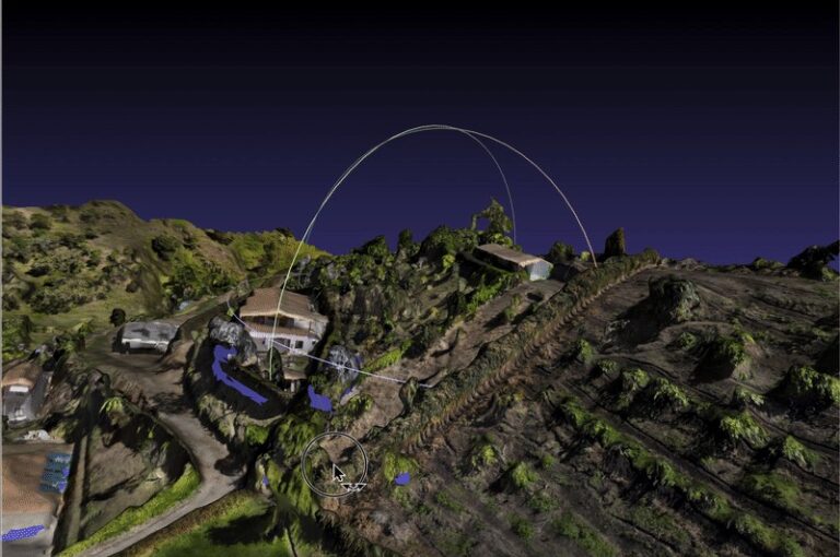
3D site models
A textured, interactive model of the property, shared through a browser link, so anyone can explore the site without visiting it.
One flight, many deliverables
A single capture session can produce the site map, the pile volumes, the elevation data, and the baseline for a progress series — one mobilization instead of four. It scales from a landscaping supply yard to a petrochemical terminal or tank farm, and we handle the FAA authorizations either way.
Frequently asked questions
How accurate are your drone maps?
Standard deliverables are mapping-grade: accurate for planning, measurement and engineering reference. An upgraded accuracy tier using ground control points is available when a project needs tighter tolerances. Drone maps are not a substitute for a licensed land survey.
What file formats do you deliver?
A georeferenced GeoTIFF for GIS and CAD software, JPG and PNG versions for presentations and print, DXF or SHP contours for CAD, and PDF exports for sharing.
How do stockpile volume measurements work?
We fly the yard and deliver a labeled map with the volume of each pile in cubic yards, plus tons when you supply your material’s density. Because the method is the same every visit, results stay comparable from period to period for audits and insurance.
How large a site can you map?
Anything from a one-acre commercial lot to a full industrial facility. Most sites are captured in a single visit, and deliverables arrive in days, not weeks.
Can you map an active construction site on a schedule?
Yes. We fly the same pattern weekly, biweekly or monthly, so each map lines up with the last for side-by-side comparisons. Earthwork volume tracking can be added to each visit.
Mapping deliverables are mapping-grade, for planning and engineering reference. They are not a substitute for a licensed land survey.
Plan, bid, measure, and document from one accurate image instead of a dozen site visits.
Tell us about the property and what you need to know about it — we’ll handle the flight, the processing, and the formats.