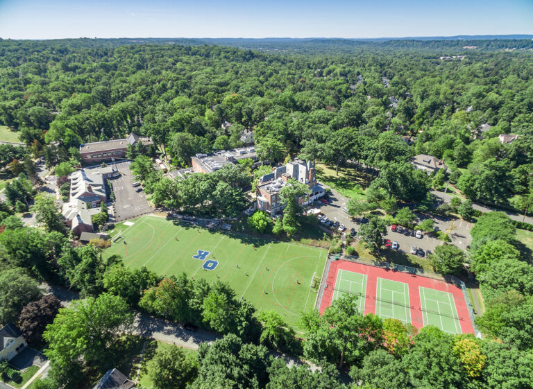
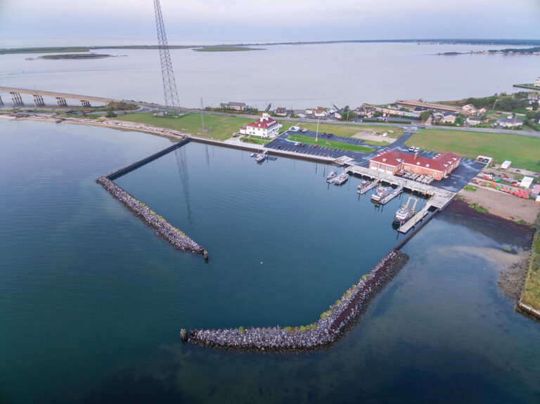
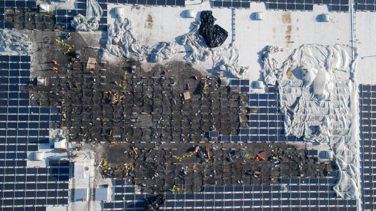
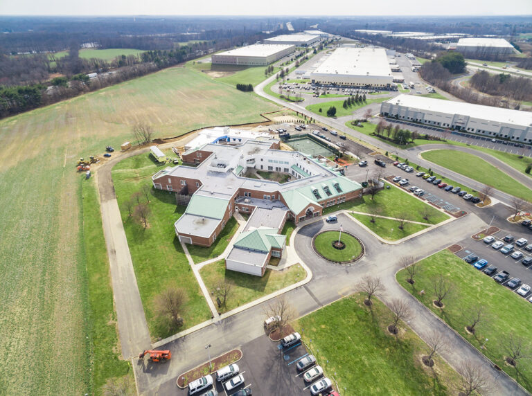
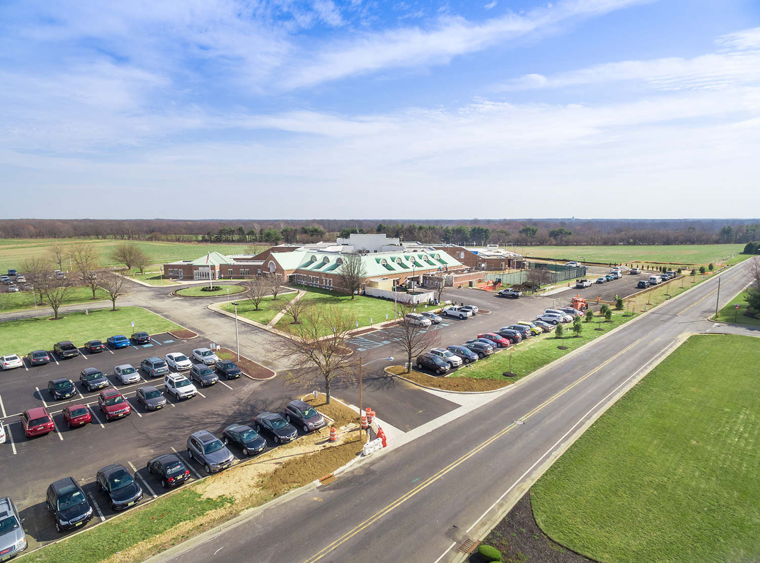
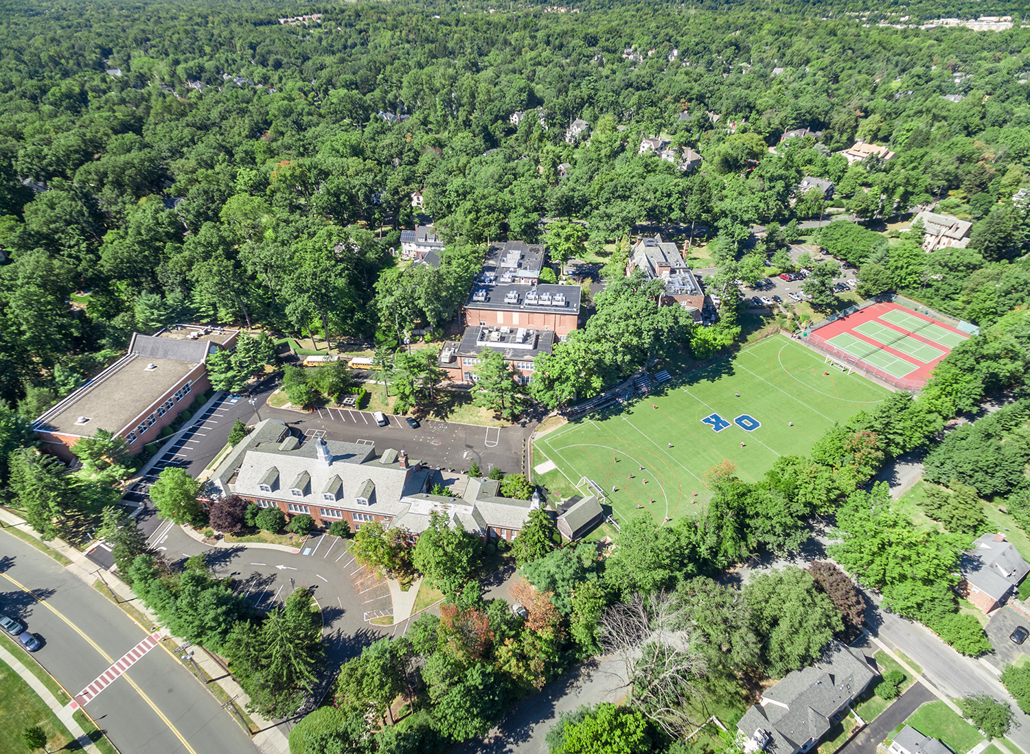
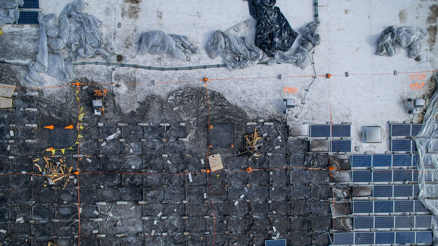
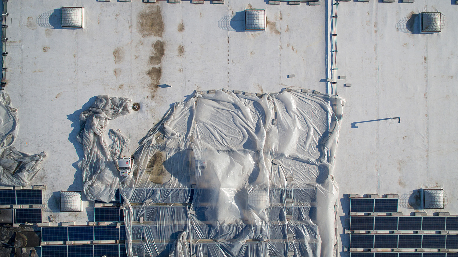
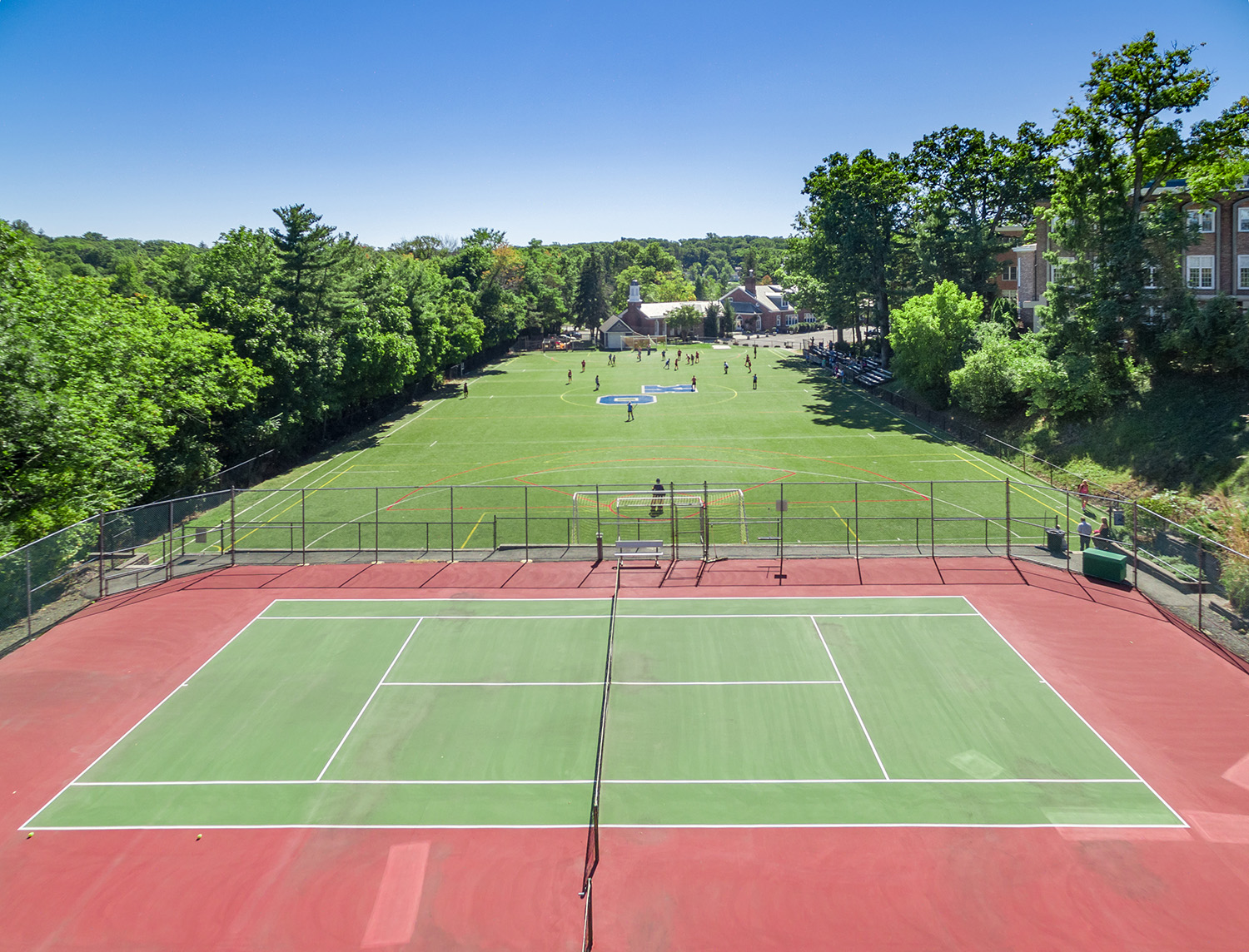
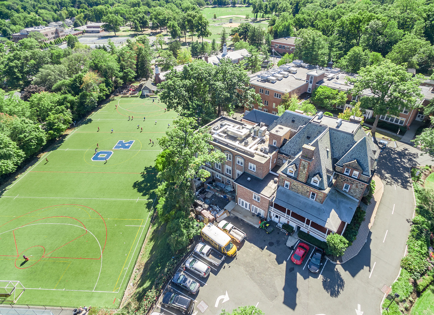
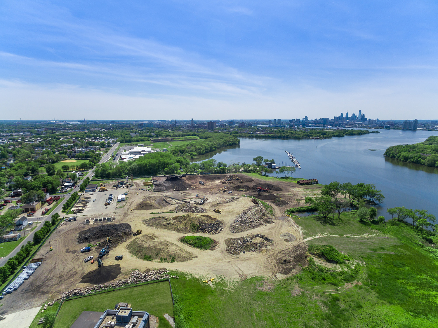
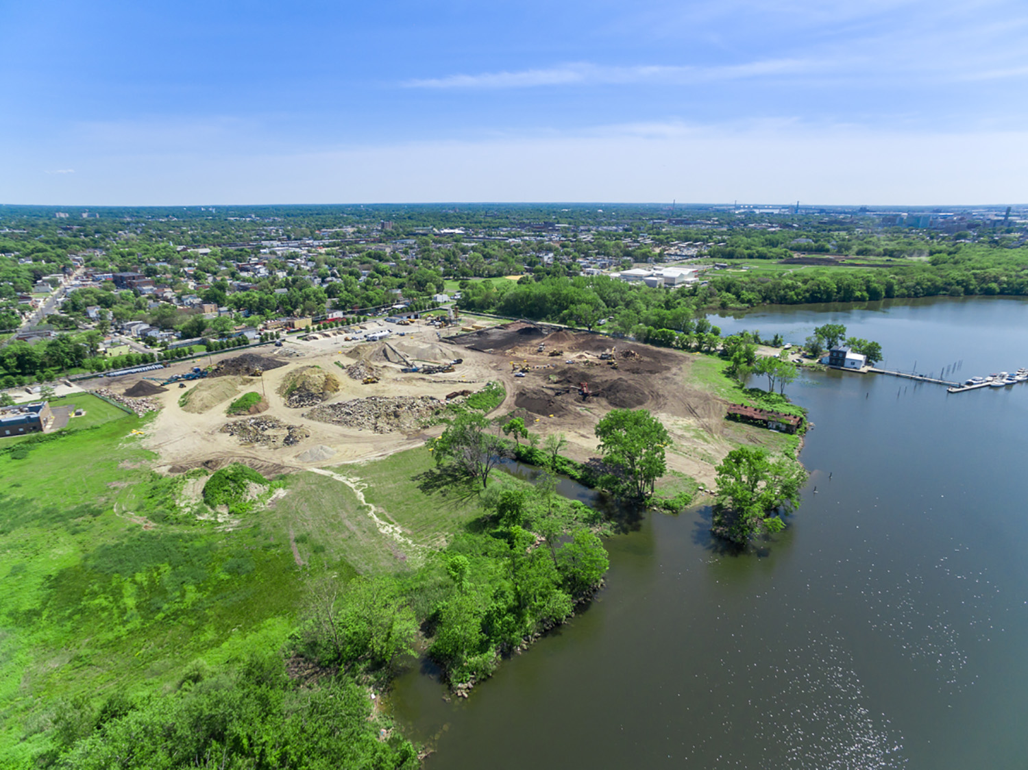
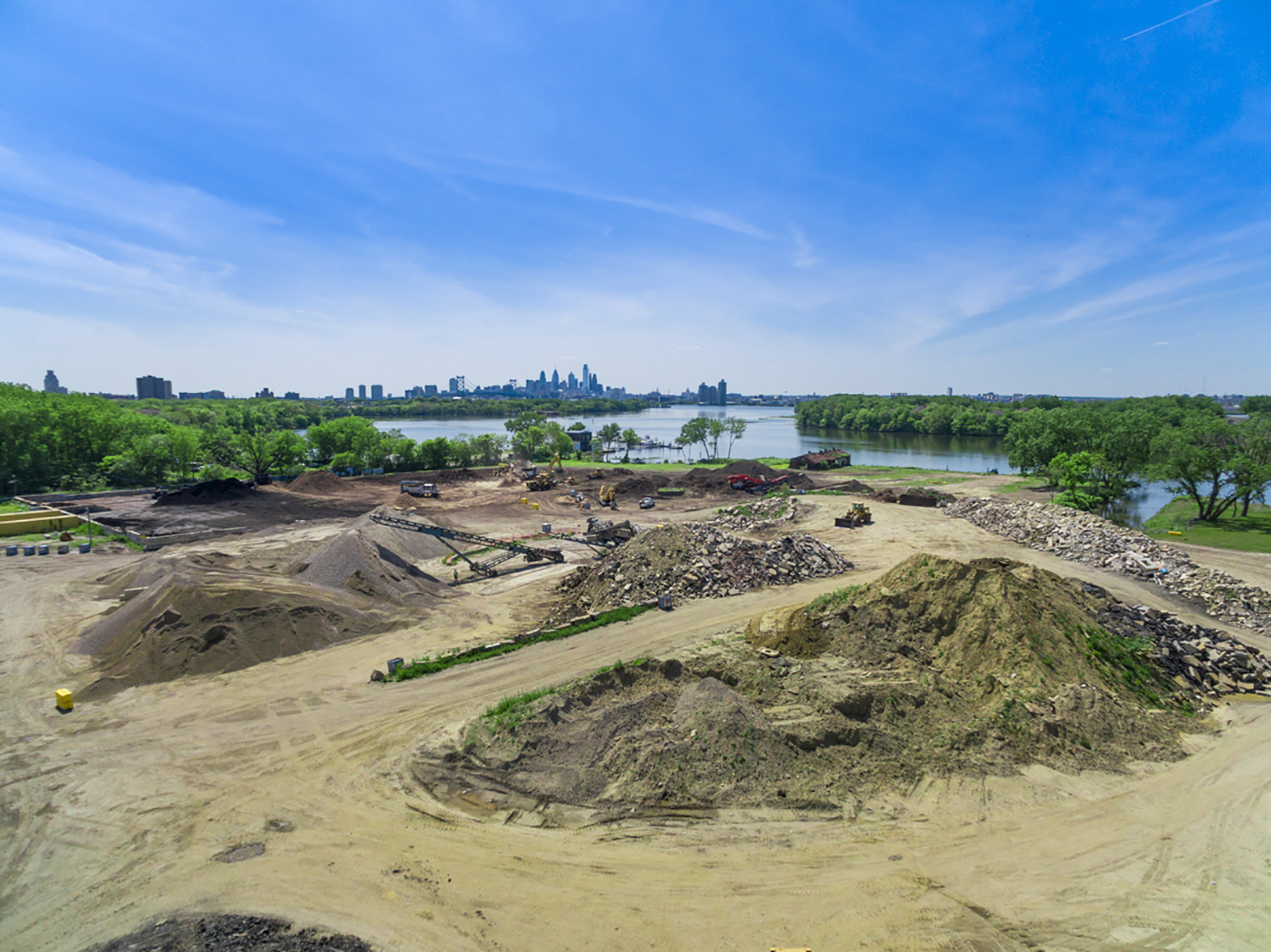
The whole scene, documented from above — on the record.
A ground photo shows a corner of the story. An aerial shows all of it: the sightlines at an intersection, the slope that sent water into a basement, the fence line that drifted three feet, the job site that fell months behind schedule. Sky View Pros gives New Jersey attorneys clear, dated aerial evidence of places — photographs, video and true-to-scale maps captured at counsel’s direction and delivered with the original files intact. FAA Part 107 licensed, fully insured, flying New Jersey since 2012.
Intersections, roadways, parking lots and sightlines, photographed and mapped once the scene is clear, so a jury sees the layout the way it actually is.
Walkways, lots, grades, lighting and drainage, documented across the whole property instead of one ground-level angle.
Fences, structures, clearing and drainage shown in context with a true-to-scale overhead map. Visual evidence, not a licensed survey.
Dated, repeatable aerial records that show what was built, when and in what order.
Roofs, structures and grounds documented safely and completely, without ladders, lifts or waiting on access.
Aerial video flyovers, overhead maps and 360° aerial panoramas that let a judge or jury understand a site in seconds.
Every assignment is planned and flown by the principals of Sky View Pros. We take direction from counsel, document what we’re asked to document, and keep the work confidential.
We are aerial photographers and mappers, not investigators. We capture places and conditions; we don’t investigate people or offer opinions on fault.
You tell us the location, the date range that matters and what the imagery needs to show.
We check airspace, secure FAA authorizations and plan the flight around the site and conditions.
One efficient session: stills, video and mapping as needed.
Originals, labeled exhibits, maps and documentation, in the formats your office and your experts use.
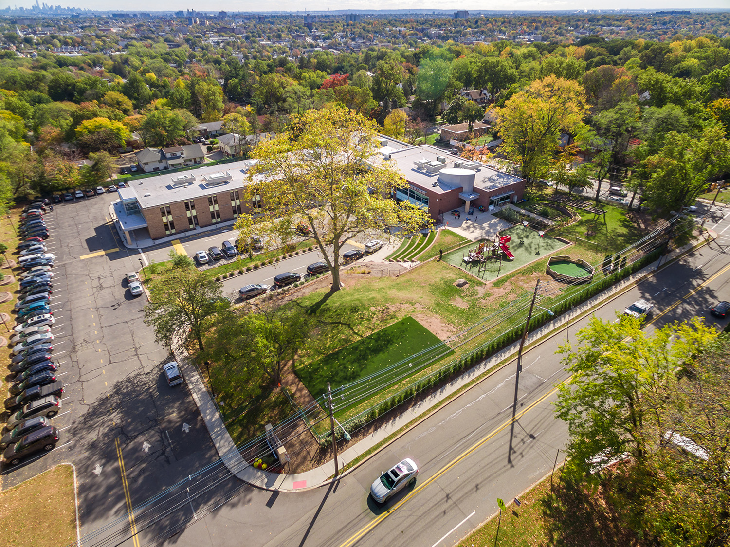
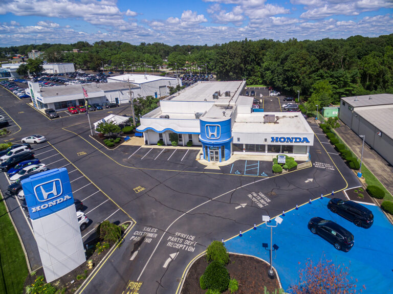
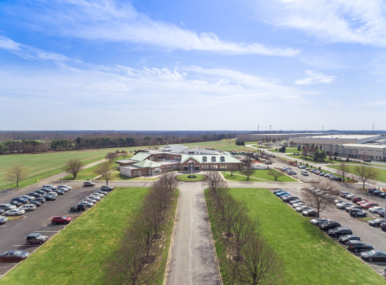
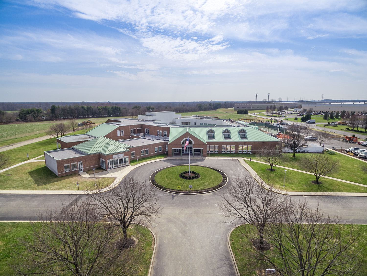
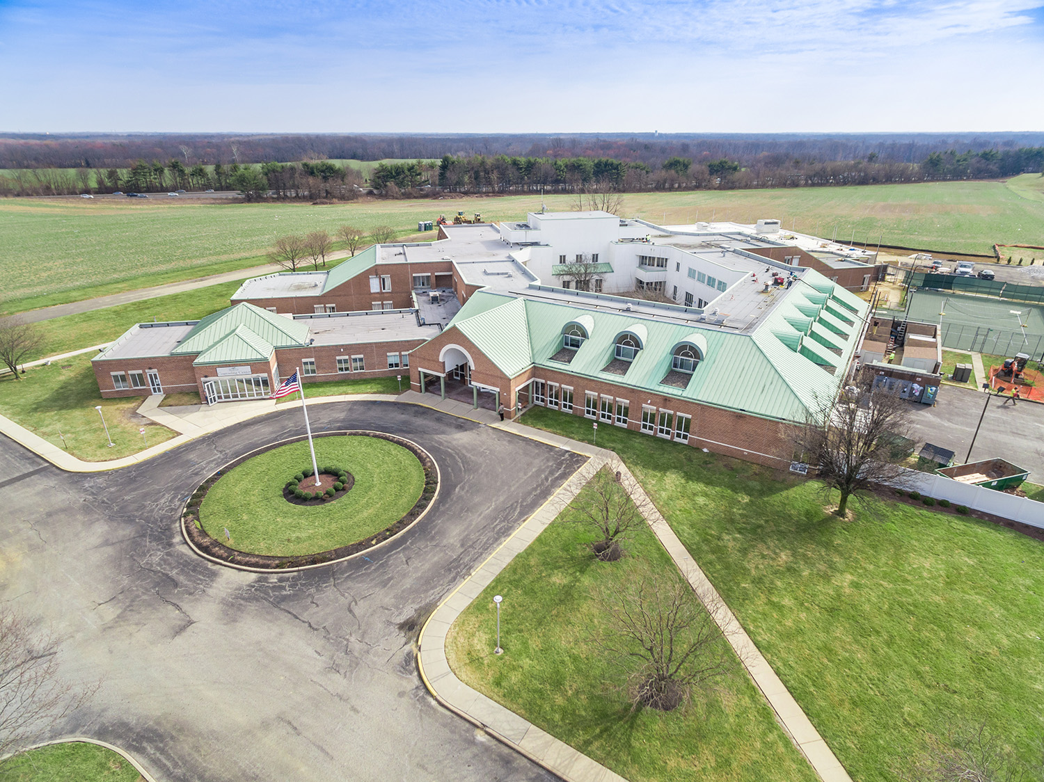
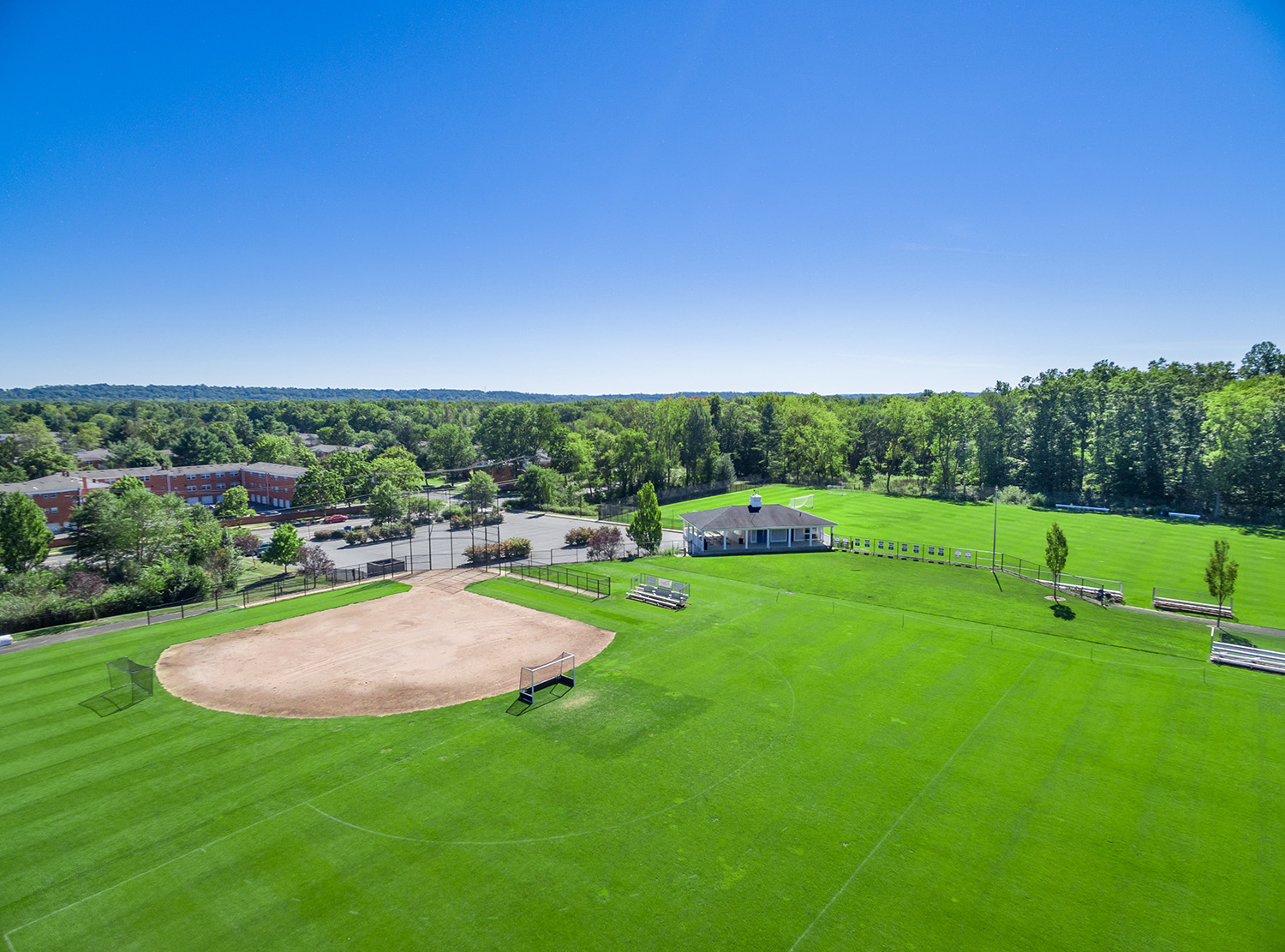
Parking lots, walkways, grades, rooftops, roads and property lines, captured at full resolution by Sky View Pros across New Jersey.
Admissibility is always the court’s decision. What we control is the record: original files with embedded date, time and GPS data, a flight log, and a written account of how the imagery was captured, so your team has what it needs to authenticate it.
We fly once the scene has been cleared. We never fly over active police, fire or EMS response — interfering with first responders is a crime in New Jersey, and it would put your evidence in question.
No. Our orthomosaic maps are true-to-scale and useful for showing distances, areas and layout, but they are not a substitute for a licensed land survey. If your matter needs survey-grade boundaries, use a licensed surveyor alongside our imagery.
Yes. A principal of Sky View Pros can speak to how, when and where the imagery was captured. We don’t provide expert opinions on fault or causation.
Yes. We serve attorneys and law firms throughout the state, from Bergen County to Cape May.
Tell us the location and what it needs to show, and we’ll handle the flight, the authorizations and the documentation.
Got questions? Ideas? Fill out the form below & our specialist will contact you.