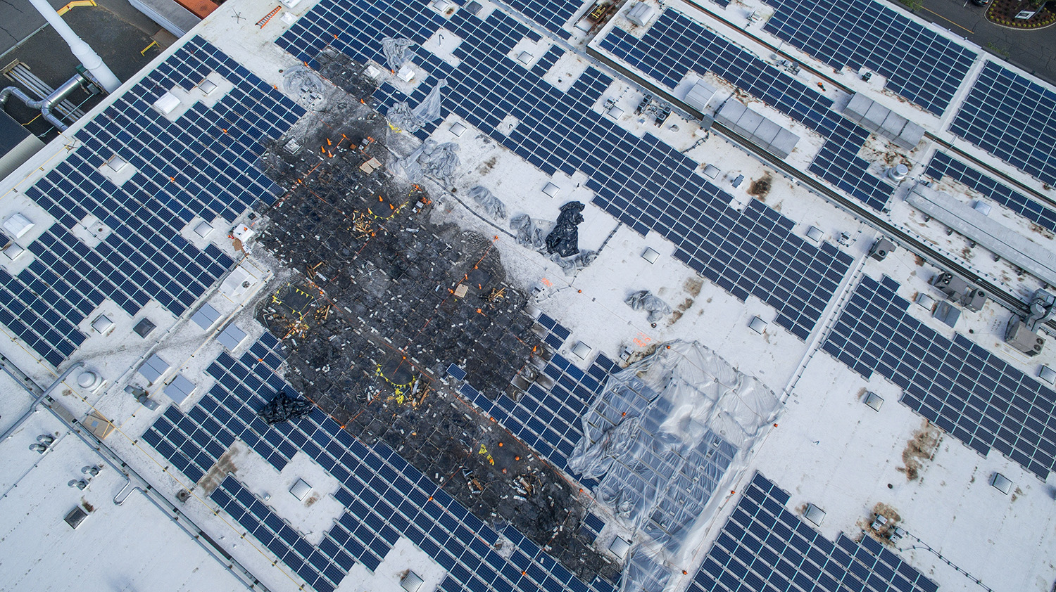
Some of the most important parts of a commercial building are the ones nobody wants to climb up to look at. A flat roof on a 300,000-square-foot warehouse, a rooftop solar array, a cell tower, a multi-story façade — inspecting them the traditional way means lifts, ladders, harnesses, liability, and often shutting part of a site down. A drone changes the whole equation.
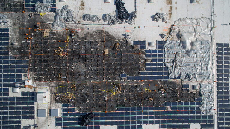
To be clear up front: this is commercial and industrial inspection work — roofs of commercial buildings, solar installations, towers, and infrastructure. (Residential roof inspections are their own thing, usually handled by roofers.) For commercial property, aerial inspection has become one of the most practical applications of a drone there is.
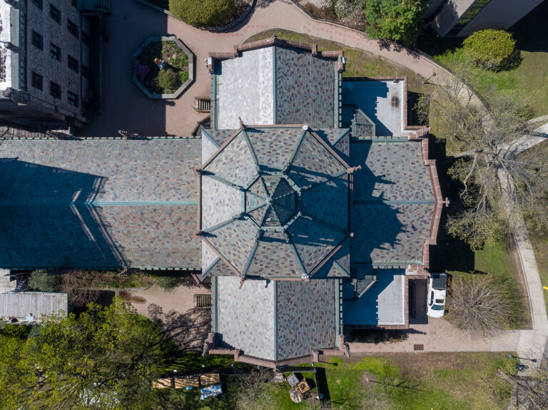
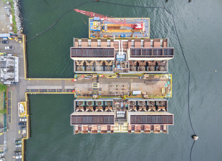
Safer. Nobody leaves the ground. The single biggest cost and risk of a high inspection — putting a person up there — disappears. That alone is often the reason facility managers make the switch.
Faster. A drone can cover a large roof or array in a fraction of the time it takes to walk and lift it, which means less disruption to operations and a faster turnaround on the imagery.
Documented. You come away with high-resolution, dated visual records — of roof conditions, drainage, membrane and flashing, solar panel condition, or structural elements. That documentation is genuinely useful: for maintenance planning, for warranty and insurance claims, and for tracking how an asset changes over time when flights are repeated on a schedule.
Who uses it. Property and facility managers who need to know the condition of a roof without sending someone up; solar and energy operators checking arrays; telecom and infrastructure operators documenting towers and structures; and owners building a maintenance record across a portfolio.
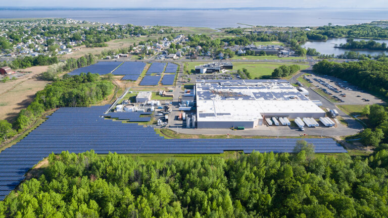
The point isn’t that a drone replaces every kind of inspection — it’s that for the high, the large, and the hard-to-reach, it gets you better information, faster, with nobody at risk. Sky View Pros flies commercial and industrial inspection imagery across New Jersey, FAA-licensed and insured. If there’s something on your property you’ve been putting off looking at because it’s a pain to reach, let’s solve that.
Get a Quote — info@skyviewpros.com · 917-574-7292
Frequently asked questions
Does a drone inspection replace a physical roof inspection?
No — it directs one. Aerial imagery shows condition across the entire surface quickly and safely, flags the areas that deserve close attention, and creates a dated record; a hands-on assessment by a roofer or engineer is still the step for anything the imagery flags. The drone’s job is making that step targeted instead of exploratory.
Will an inspection flight disrupt the building’s tenants or operations?
No. Everything happens from the air over the roof, with takeoff coordinated around your site — nobody enters tenant spaces, no equipment is staged on the roof, and nothing shuts down. Most occupants never know the flight happened.
How does aerial documentation help with an insurance claim?
It gives the claim a before and after. Dated, high-resolution imagery of a roof or array establishes condition at a point in time, and post-event imagery of the same asset makes storm or impact damage concrete rather than argued. Adjusters move faster when the evidence is visual and timestamped.
How often should a commercial roof or solar array be documented?
A consistent cadence beats a perfect one. Annual documentation — or after any major weather event — builds the comparison record that makes slow deterioration visible and claims defensible. The value compounds: the third year of imagery is worth more than the first.