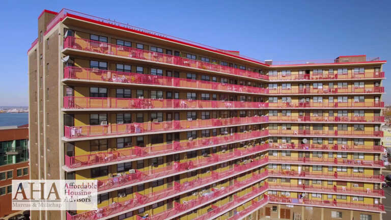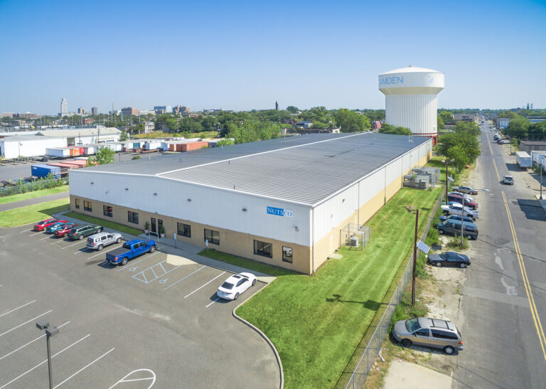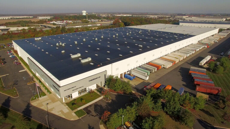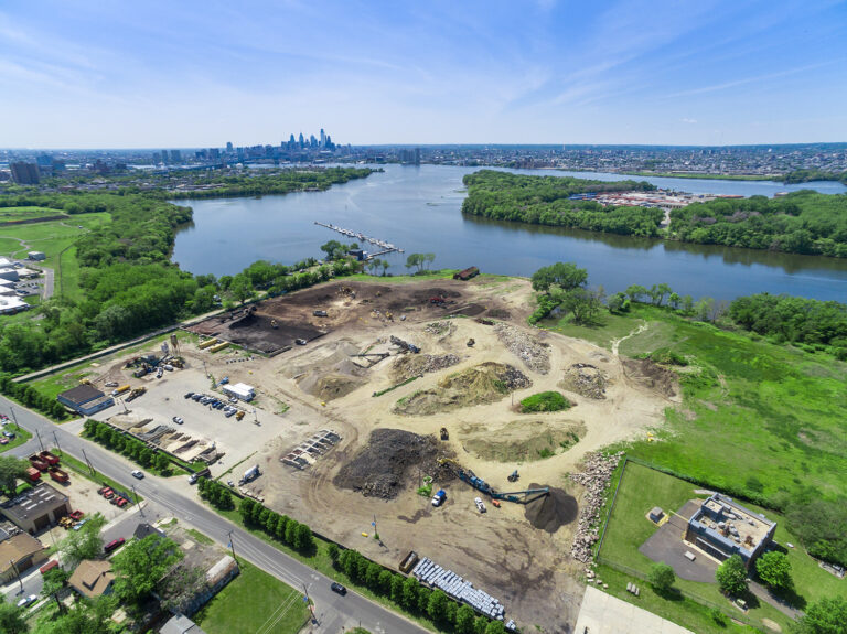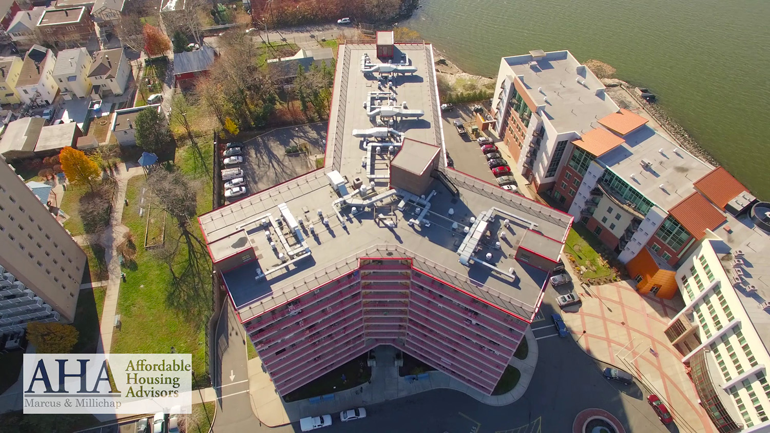
There’s a reason the best commercial brokers in New Jersey have quietly made aerial photography a standard line item, not a splurge. Commercial property isn’t sold the way a home is. A house is sold on the inside — the kitchen, the light, the finishes. A warehouse, a retail pad, a development site, an office building? Those are sold on everything around them. Where it sits. What it’s near. How big the opportunity really is. And there is no way to tell that story from the ground.
Stand in front of a 200,000-square-foot distribution center with a camera and you’ll capture a wall. Fly above it and you capture the truck courts, the trailer parking, the loading configuration, the highway interchange a quarter mile away, and the rooftops of the national tenants next door. One of those images sells the building. The other one is just a photo of a wall.
The Three Things Aerial Shows That Ground Can't
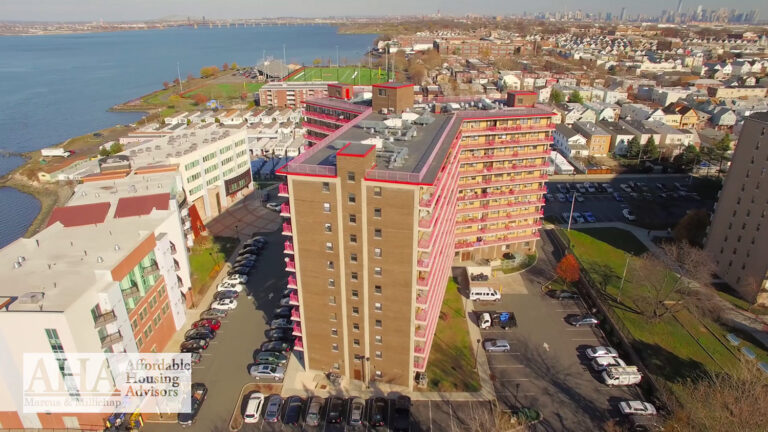
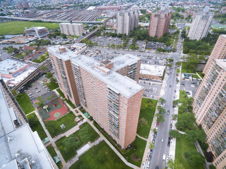
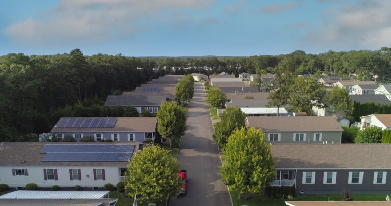
Scale. Commercial buyers and tenants think in footprints and clear heights and acreage. A ground photo flattens all of that into a façade. An aerial shows the true size and shape of an asset — and for industrial and development property, size is the headline.
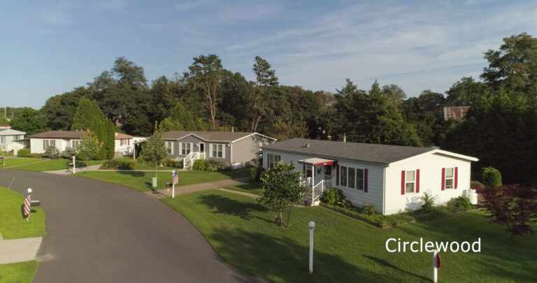
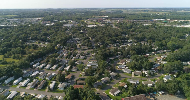
Access. In commercial real estate, proximity is the pitch. Distance to the interstate, the port, the rail, the population center. An aerial frames a property inside its market in a single image, instead of asking a prospect to cross-reference a map.
Context. Who are the neighbors? What’s the surrounding density? Is there a major anchor next door? Context is reassurance, and reassurance closes deals. An aerial delivers it instantly.
The Psychology of the Overhead View
There’s also something simpler at work. People stop scrolling for an aerial. A strong overhead or twilight shot of a commercial building is genuinely arresting in a way a street-level photo isn’t — and in a crowded listing feed, attention is the whole game. More eyes on the listing means more inquiries, and more inquiries means a faster close. The image doesn’t just inform; it markets.
Where It Earns Its Keep in the Process
Aerial isn’t only for the listing photo. Developers use it to market a site before a single beam goes up, selling the vision and the location while the parcel is still raw. Brokers use it to win the listing in the first place — walking into a pitch with a cinematic flyover of the property says something about how the asset will be marketed. Owners and investors use it in offering memoranda and stakeholder decks, where a polished aerial signals that the asset is serious. The same shoot feeds all of it.
The Twilight Edge
If there’s one upgrade that punches above its weight, it’s the twilight shot. Photographing a commercial building at dusk — interior and exterior lights on, sky still holding color — produces the kind of hero image that ends up on the brochure cover and the website header. It’s the difference between a property that looks available and one that looks desirable.
Done Right, by Someone Licensed
The catch: commercial drone work has to be done by an FAA Part 107-certified, insured operator, with the airspace authorizations a given site requires. That’s not a formality — it’s what keeps your marketing clean and your project protected. (More on that in our guide to flying commercially in New Jersey.)
Sky View Pros has been shooting commercial and development property across New Jersey since 2012 — from the 8A logistics corridor to the Gold Coast. If you’ve got a property that deserves to look as serious as the deal, let’s get it in the air. Contact us for a quote today!
Frequently asked questions
Does drone photography work for smaller commercial properties, or only large sites?
It earns its place wherever context matters. A small retail pad on a busy corridor can benefit as much as a large industrial site, because what aerial adds is the relationship between the building and everything around it — frontage, access, parking, neighbors — and that relationship exists at every size.
Can you shoot an occupied property without disrupting tenants?
Yes. The work happens from the air and from ground positions we agree with you in advance, so there is no need to enter suites, move staff or interrupt trading. For occupied retail and office assets that is usually the difference between shooting this week and waiting for a vacancy.
How is this different from the satellite view already on Google?
Resolution, angle and timing. Satellite imagery looks straight down and is often months or years old. A drone shoot gives you current, high-resolution obliques — the angles that actually sell — showing the building, its approach and its surroundings in a single frame.
Is it still worth shooting a property that is already under contract?
Often, yes, for a different reason. The imagery outlives the listing it was commissioned for: it feeds the broker’s track record and case studies, the owner’s materials for the next vacancy, and portfolio marketing. One shoot, several jobs.