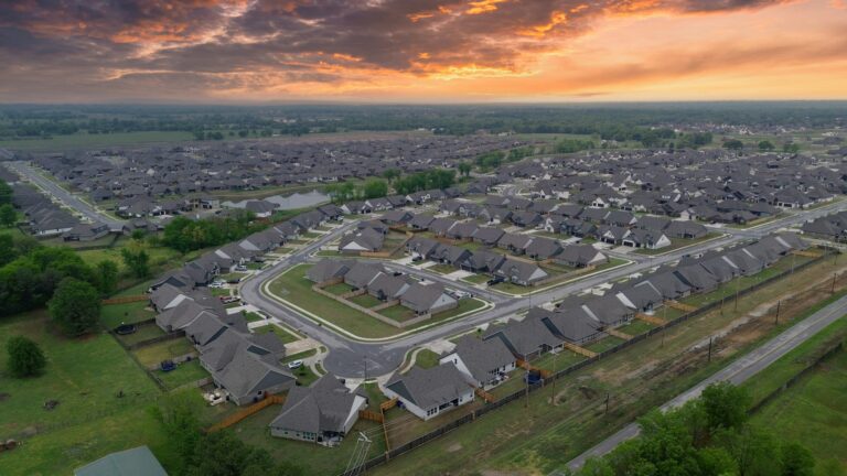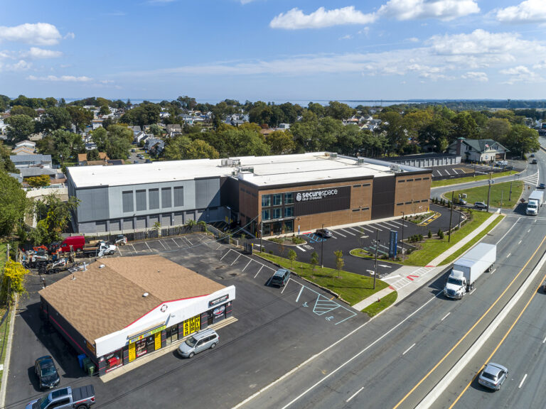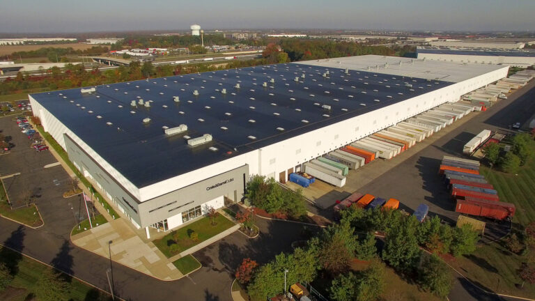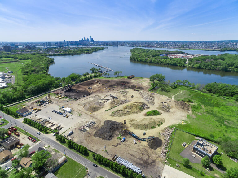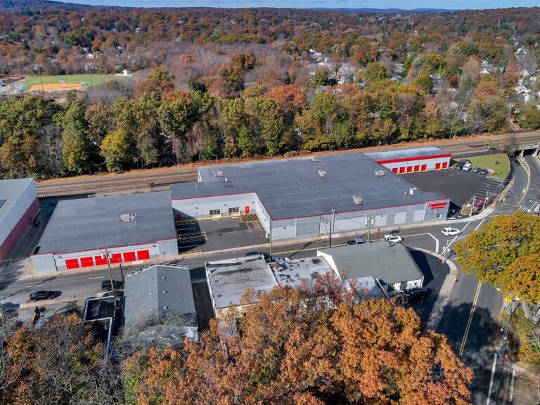
New Jersey’s economy isn’t spread evenly across the map — it runs in corridors. Trace a few highways and you’ve traced where most of the state’s commerce actually happens. We fly all of them, and each has its own personality from the air.
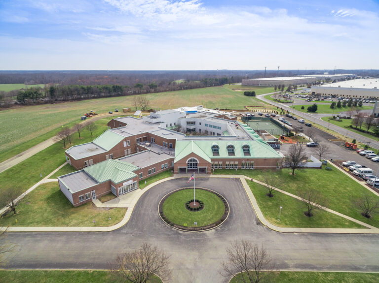
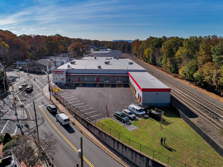
The Route 1 corridor (Mercer) is the research-and-corporate spine, running between Princeton and Trenton through a belt of pharma, technology, and professional campuses. From above it reads as prestige and proximity — manicured campuses strung along the highway, each selling its address.
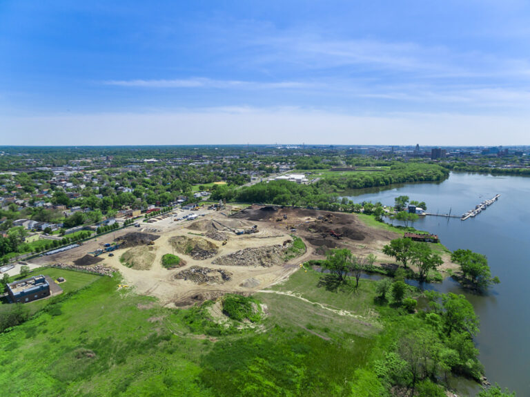
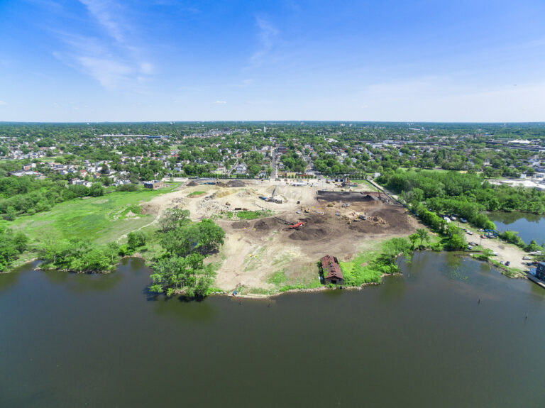
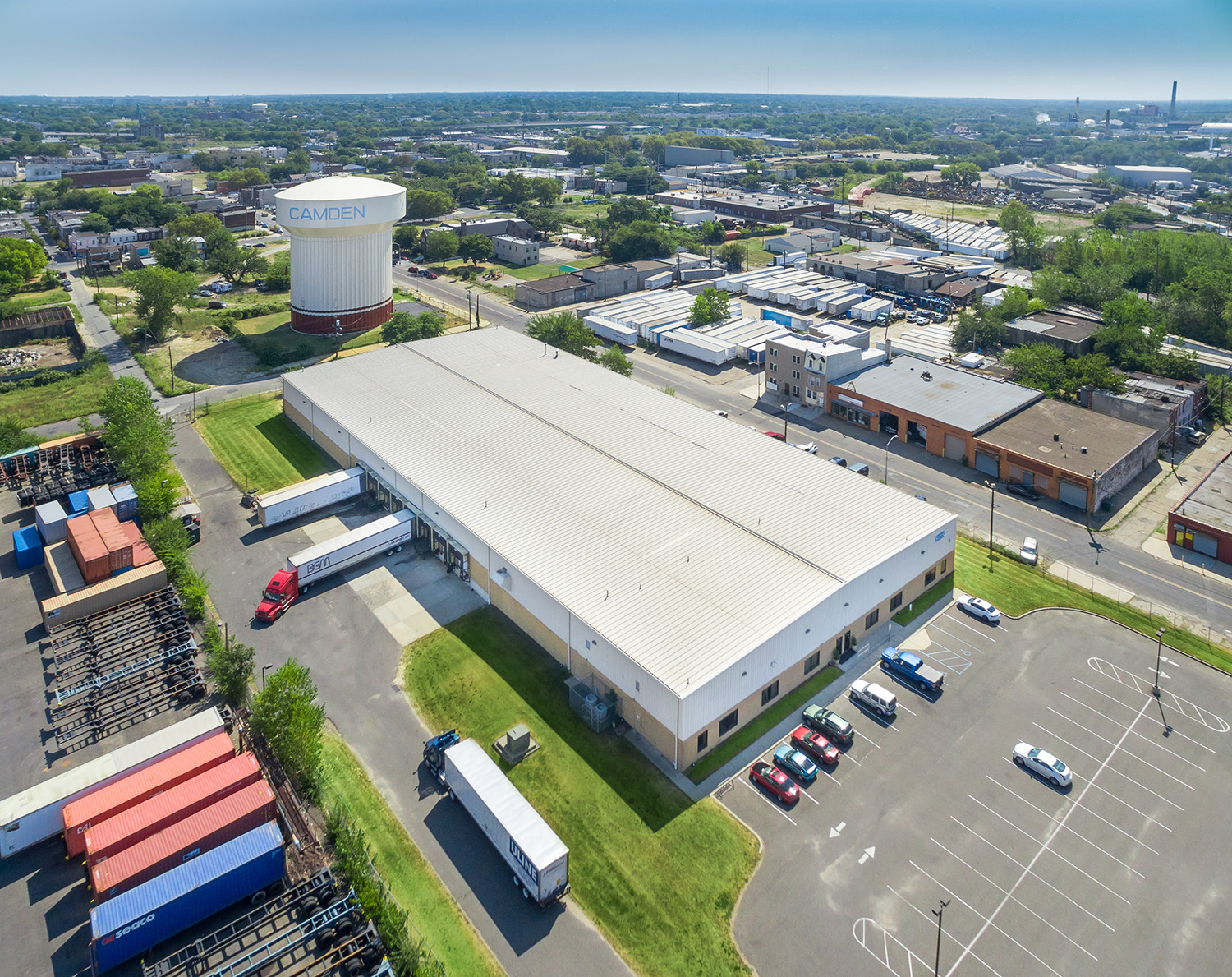
The Exit 8A corridor (Middlesex) is logistics country: one of the densest warehouse and distribution markets in the nation, where the story is always footprint and access. Aerial shows the truck courts and the Turnpike interchange in one frame — exactly what a logistics tenant wants to see.
The Gold Coast (Hudson) is the development frontier — Jersey City and Hoboken’s high-rises along the Hudson, with the Manhattan skyline as the backdrop that sells the view.
The retail capital (Bergen) centers on Paramus, where some of the highest retail revenue in the country concentrates around a few exits — big-footprint commercial that’s genuinely impressive from above.
And our home corridor, Route 9 (Monmouth), threads the county’s retail and commercial core, from Freehold out to the coast.
Different corridors, different instincts behind the camera — but one constant: in commercial real estate, location is the pitch, and aerial is how you make the pitch in a single image. Wherever your property sits in New Jersey’s commercial map, we know how to frame it.
Get a Quote — info@skyviewpros.com · 917-574-7292
Frequently asked questions
Can several properties be photographed in a single corridor trip?
Often, yes — when they sit close together. A corridor like Route 9 or Route 1 puts multiple assets within short repositioning distance, so a portfolio owner or a brokerage with several listings in one stretch can cover them in far fewer flight days than booking each one cold. It is one of the quiet efficiencies of aerial work.
What does a corridor shot add that a single-property shot does not?
The neighbors. Retail and commercial value on these roads is heavily about co-tenancy and traffic — who is nearby, how the site meets the road, where the signals and turn-ins are. A wider corridor frame shows a prospect the retail gravity around a property, not just the parcel itself.
Does traffic in the frame help or hurt a commercial listing?
For corridor retail, it usually helps. Visible traffic is visible customer flow — the thing a tenant is paying for — and a frame that shows an active road tells that story better than an empty one. For industrial or office assets, we time and frame for a cleaner, quieter look instead.
Which New Jersey corridors do you cover?
All of them — we fly statewide from a Central Jersey base. Route 9, Route 1, Route 22, Route 17, Route 130, and the commercial stretches along the Turnpike and Parkway: if a property trades on its road position anywhere in New Jersey, it is inside our coverage area.