Why aerials belong in every serious New Jersey listing
Buyers decide where they want to be before they decide what they want to buy. A ground photo can show a front door; it can’t show that the property backs onto a preserve, sits two minutes from a Parkway exit, or has room to expand behind the parking field. That is the job real estate drone photography does.
For New Jersey brokers, owners and developers, a single aerial session answers the questions buyers would otherwise drive out to ask — and puts the property in front of them with the context that makes it worth the drive.
What a professional real estate drone shoot delivers
- High-resolution aerial stills from multiple heights and angles
- Cinematic aerial video for listings, social media and investor decks
- Location context: highways, transit, downtowns and amenities
- Lot lines, parking, access and expansion room shown at a glance
- Files delivered ready for listing sites, brochures and print
1. Location is the selling point — show it
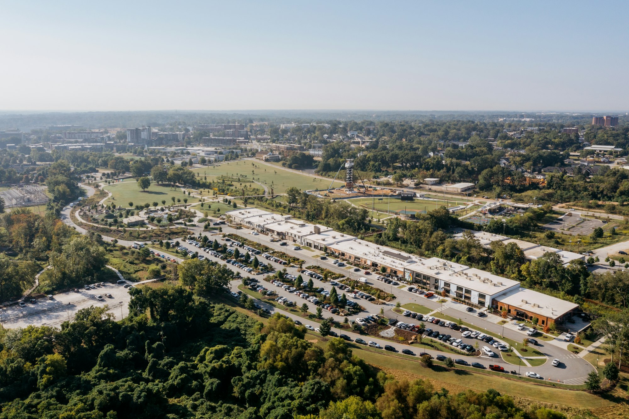
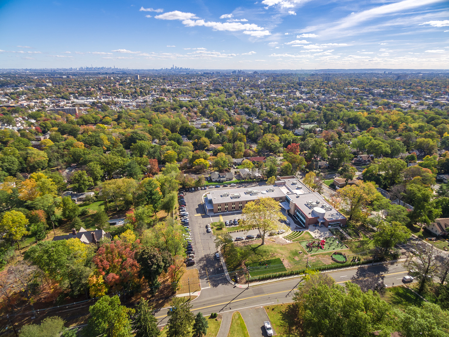
In New Jersey, location carries more weight than almost any feature on a spec sheet. A property near the Turnpike, a train station or the Shore is worth more because of where it is, and an aerial is the only photograph that proves it. Flying up to the FAA’s 400-foot ceiling, we can frame a property with the roads, downtowns, waterfront and open space around it, so a buyer understands the neighborhood in one image instead of a map search.
A ground photo shows the building. An aerial shows the opportunity: the access, the neighbors and the room to grow.
2. Commercial listings: footprint, access and parking
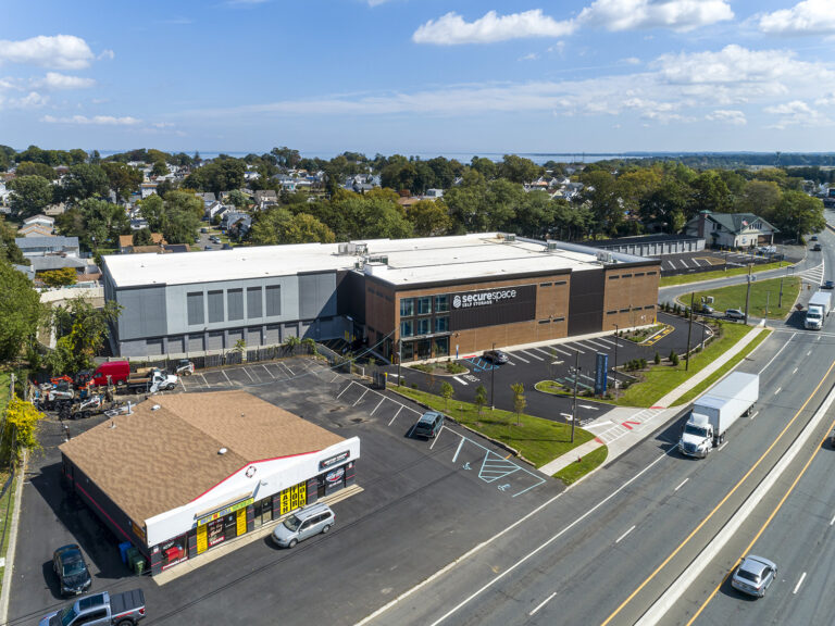
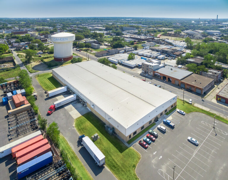
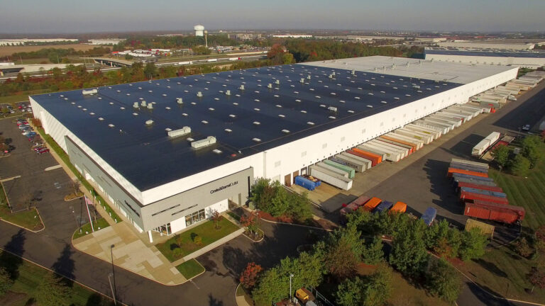
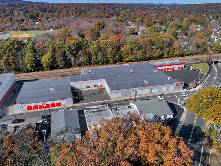
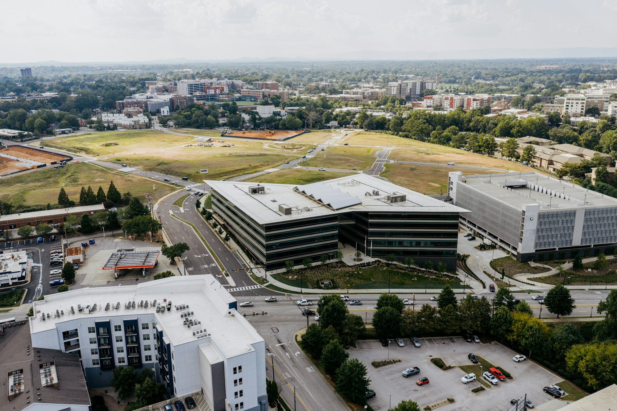
Commercial buyers and tenants read a property differently than homebuyers. They want to see the full footprint, how many cars the lot holds, where the curb cuts are and how quickly traffic reaches the highway. Our commercial real estate drone photography captures all of it in a set that works for offering memorandums, leasing flyers and listing sites.
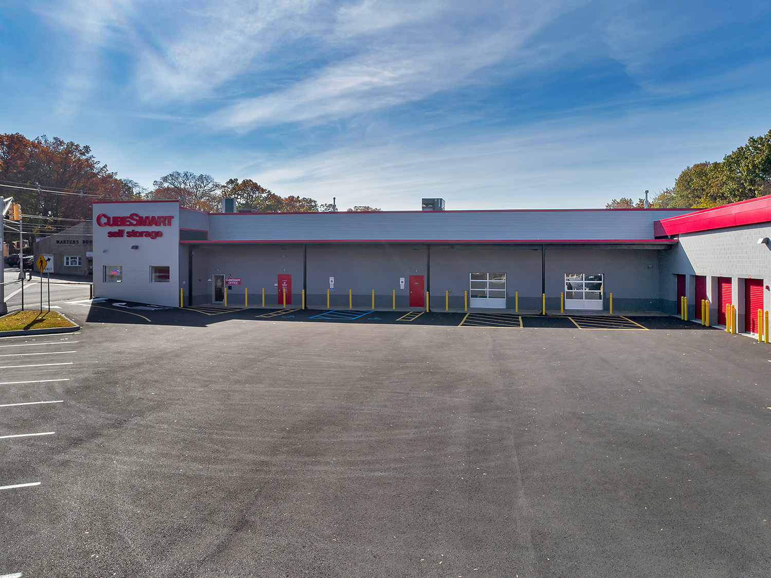
For retail and flex space, a low oblique angle shows signage and frontage. For office campuses and industrial sites, a higher view shows the whole property and its surroundings in a single frame.
3. Aerial video: the walkthrough from above
Stills make the first impression; video keeps buyers watching. A 60- to 90-second aerial real estate video can open on the neighborhood, glide in to the property and reveal the grounds in a way no photo sequence can. It works on listing pages, YouTube and Instagram, and in investor presentations.
If you’re weighing formats, our guide to aerial video vs. stills for commercial real estate breaks down when each one wins.
Every flight is planned and flown by the principals of Sky View Pros. The people you talk to are the people in the air.
4. Luxury homes: the setting is the selling point
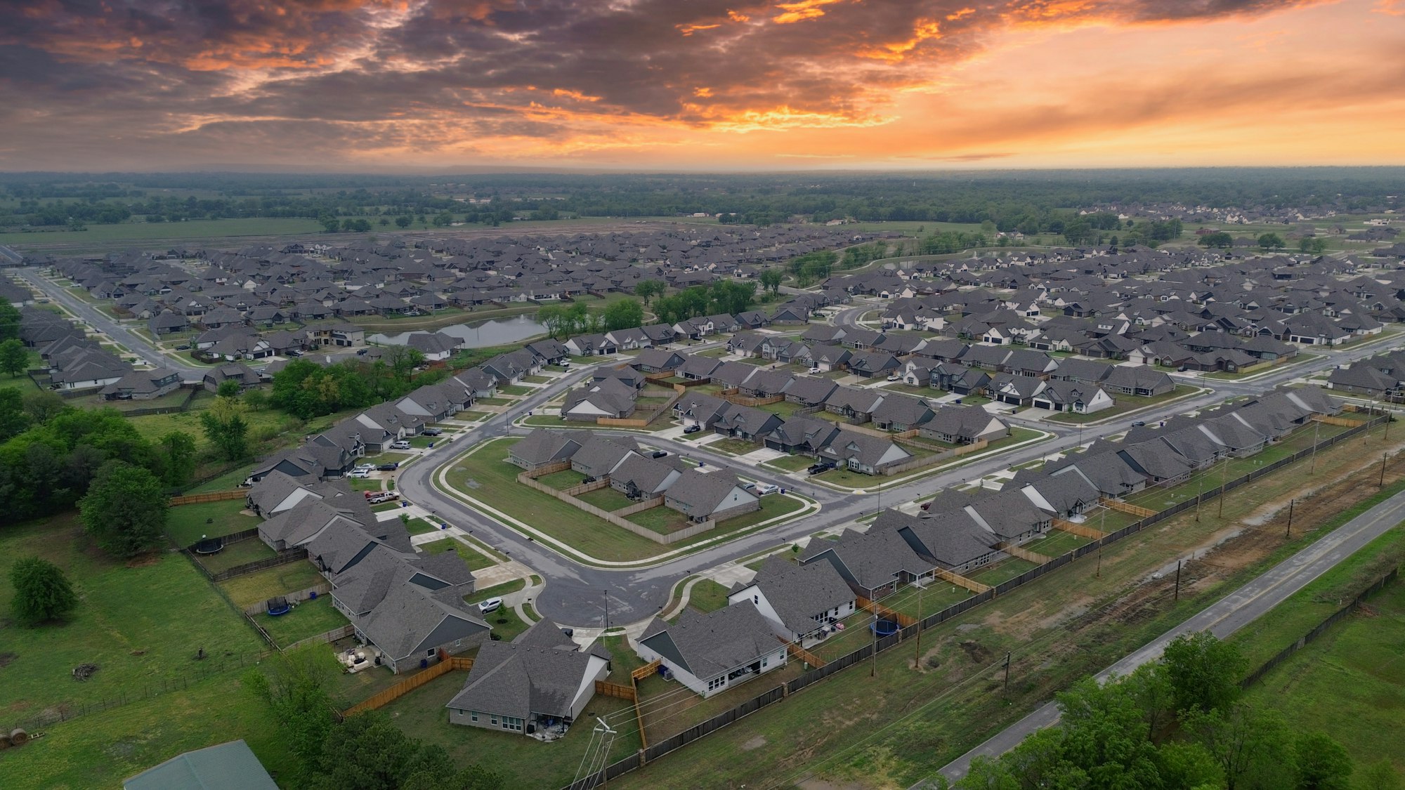
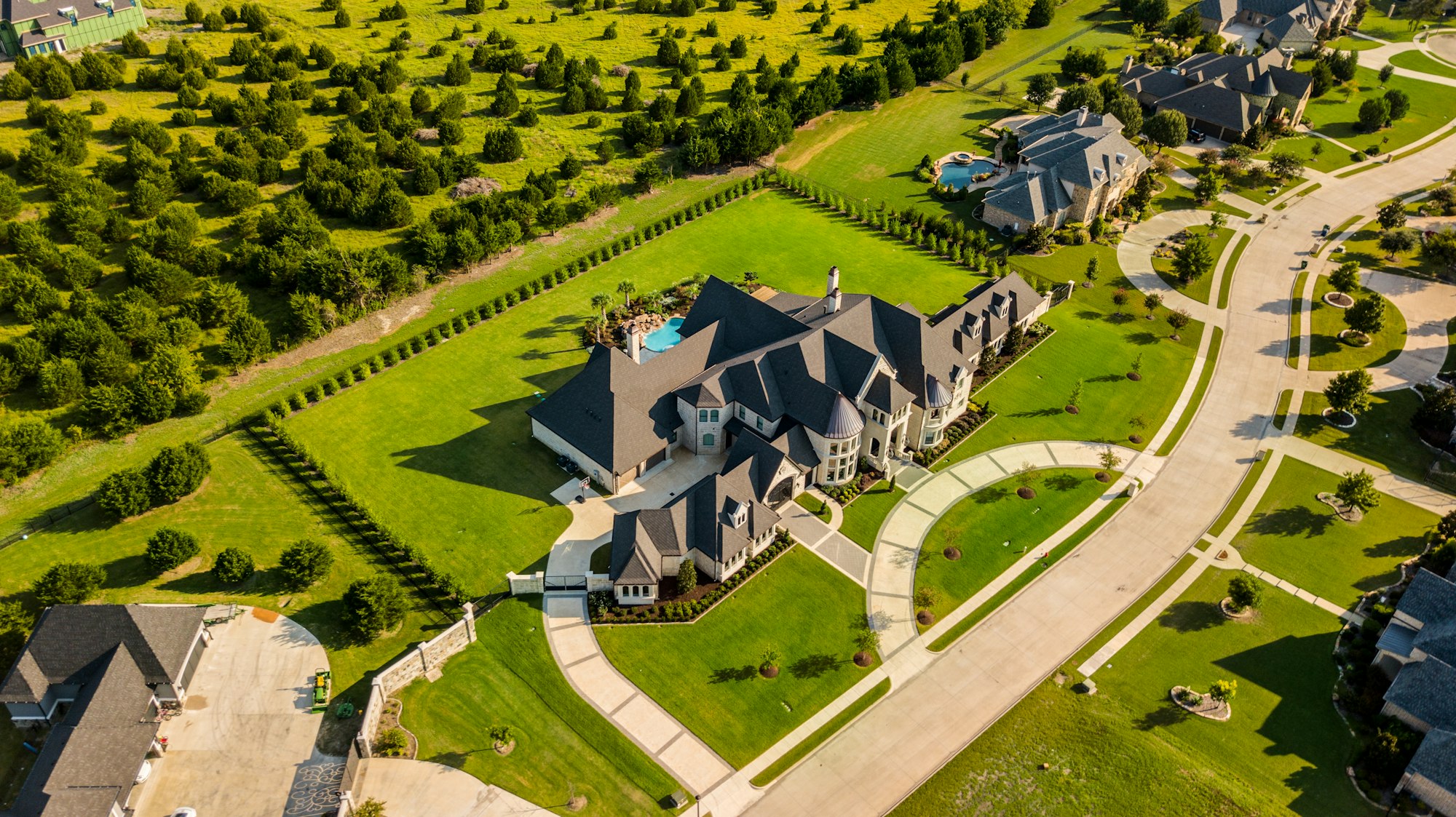
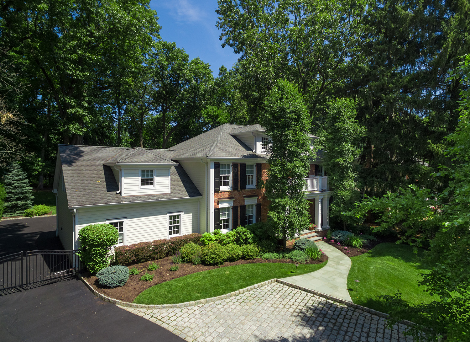
At the top of the residential market, buyers are paying for the land, the privacy and the view as much as the house. A high-end property might sit on wooded acreage, back onto a golf course or open onto the water, and none of that fits inside a ground-level frame.
Our luxury home aerials show the full estate, the approach and the landscaping, and a twilight session is often the image that ends up on the brochure cover.
5. Land and development sites: sell what isn’t built yet
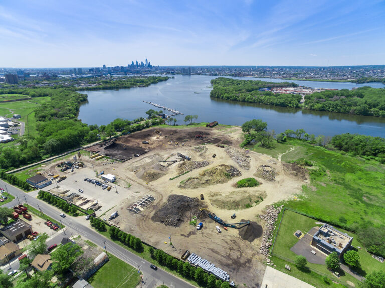
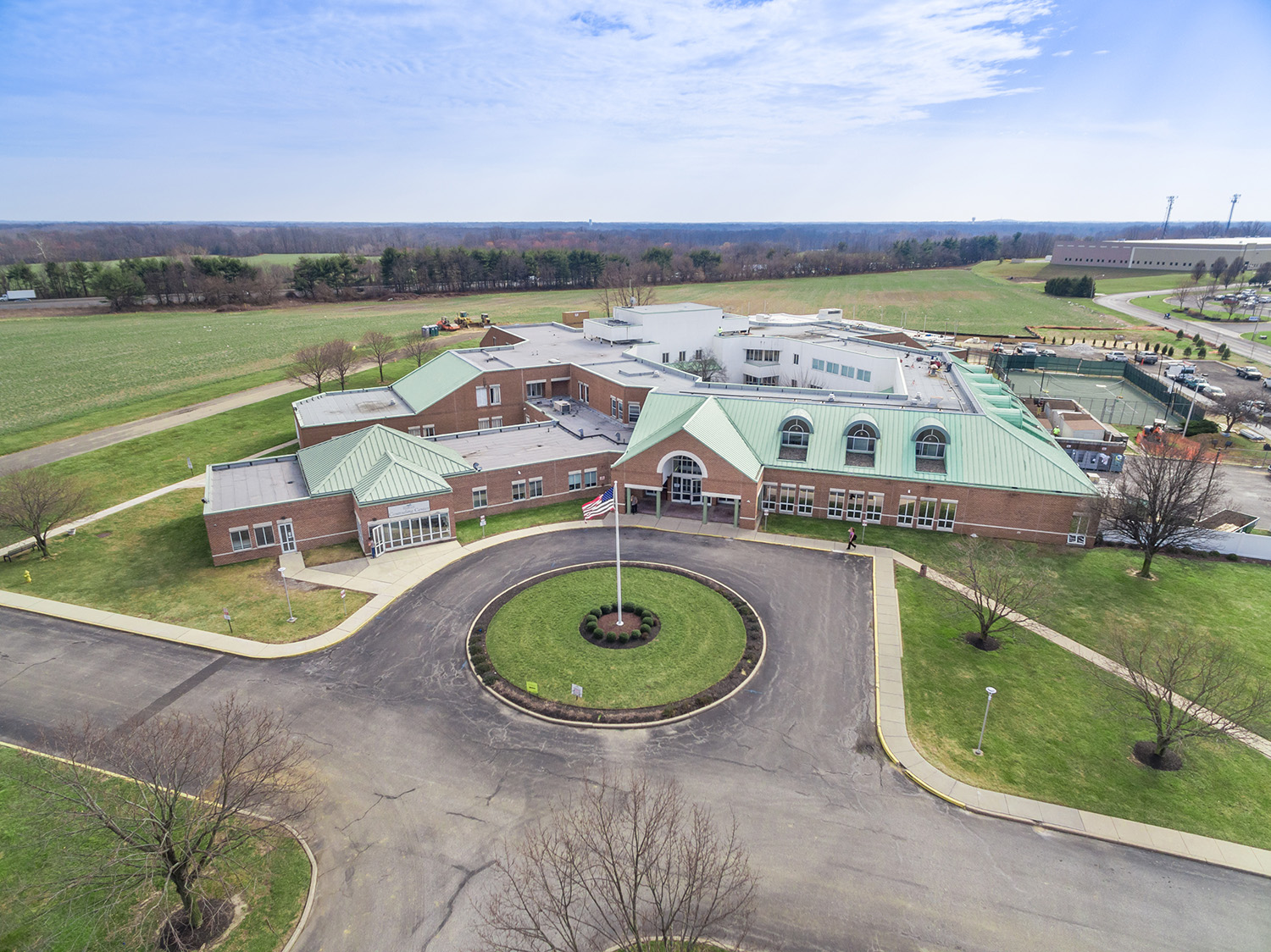
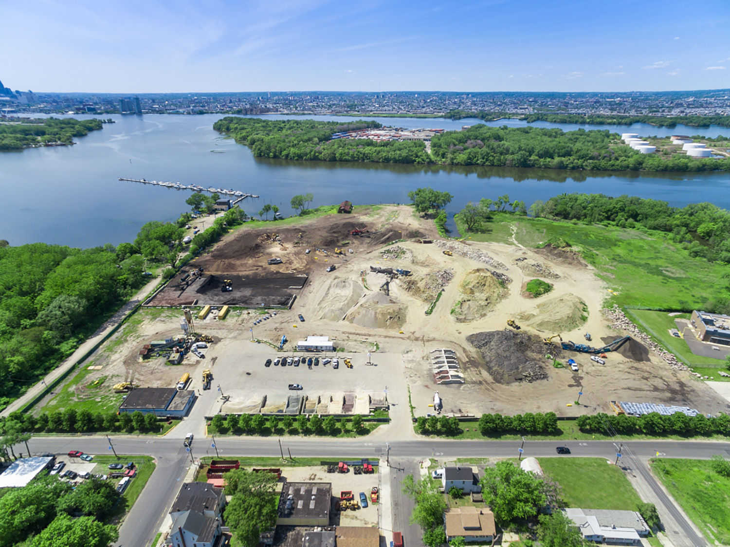
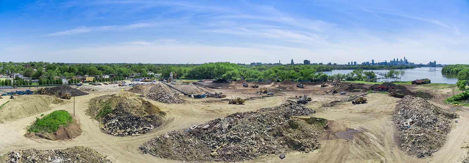
Raw land and early-stage projects are the hardest properties to market from the ground, because there is often nothing to photograph but grass or graded dirt. From the air, the same parcel shows its frontage, its neighbors, its access and its scale.
Developers use those aerials to pitch investors, win approvals and pre-lease, then add construction progress flights as the project rises. We cover the strategy in marketing a development site before it’s built.
Getting a property ready for its shoot? Our real estate photo shoot prep checklist covers what to tidy, move and schedule before the drone goes up.
Frequently asked questions
How high can a drone fly for real estate photography in New Jersey?
Under FAA Part 107, commercial drones fly up to 400 feet above ground level. Most real estate aerials are shot well within that range, depending on the size of the property and how much of its surroundings it needs to show. Near airports, flights need FAA authorization first, which we handle.
Do I need a licensed drone pilot for real estate photos?
Yes. Any drone flight for a business purpose, including listing photos, requires an FAA Part 107 remote pilot certificate. Hiring a licensed, insured operator protects you, the owner and the listing. Our guide to commercial drone licensing in New Jersey explains the rules.
What’s the best time of day for real estate drone photos?
Midday light suits many commercial properties, while homes and waterfront listings often look best in the hour around sunset. The season matters too; see the best time of year for aerial photography in NJ.
Can you shoot aerial photos and video in the same visit?
Yes. We usually capture aerial stills and video in one session, so a single booking gives you both.
Booking real estate drone photography in New Jersey
Sky View Pros is FAA Part 107 licensed, fully insured and has been flying New Jersey since 2012. We cover the whole state, from Bergen County to Cape May, and handle the airspace side for you: much of North Jersey sits in controlled airspace around Newark and Teterboro, and we secure FAA authorization before every flight that needs it.
Tell us the address and what the property needs to show, and we’ll plan the shoot around the light, the season and your listing date.