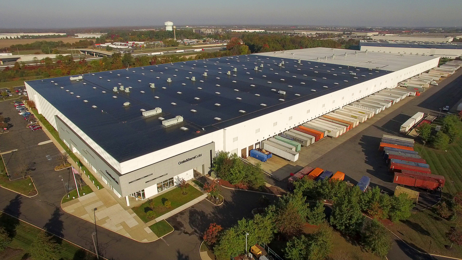
New Jersey moves a staggering share of the country’s goods, and a lot of it passes through one stretch of the state: the Exit 8A corridor of the New Jersey Turnpike, in Middlesex County, one of the densest warehouse and distribution markets in the United States. If you own, develop, lease, or sell industrial property here, you already know the marketing challenge — these are some of the largest and least photogenic buildings imaginable from the ground. Which is exactly why they belong in the air.
Why Industrial Is Made for Aerial
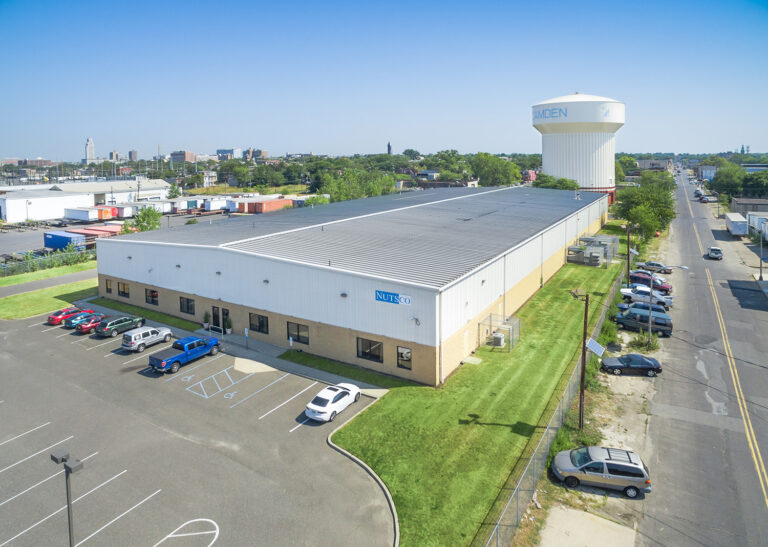
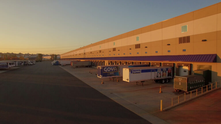
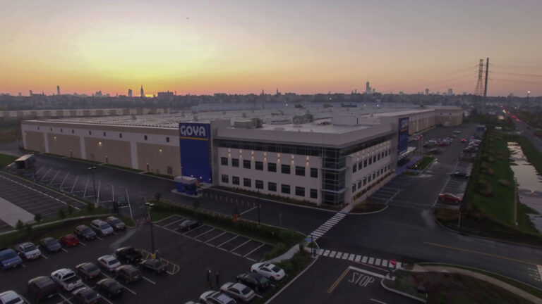
Industrial real estate is bought and sold on a short list of spatial facts: the building’s footprint and clear height, the number of dock doors, the depth and configuration of the truck courts, trailer parking counts, and — above all — access. A distribution tenant’s first questions are about how trucks get in and out and how fast they reach the highway. None of that is visible from a parking-lot photo. From above, all of it is visible at once: the full footprint, the loading configuration, the trailer storage, and the Turnpike interchange in the same frame. That single image answers the questions a leasing brochure spends three pages trying to describe.
Proximity Is the Pitch
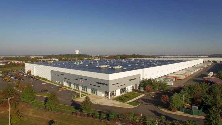
In logistics, location is measured in drive time. The value of an 8A property is its access to the Turnpike, the ports, the airports, and the population of the entire Northeast within a day’s drive. An aerial frames a building inside that network — and for a logistics buyer thinking in supply-chain terms, that context is the entire value proposition, delivered instantly.
For Development and Due Diligence Too
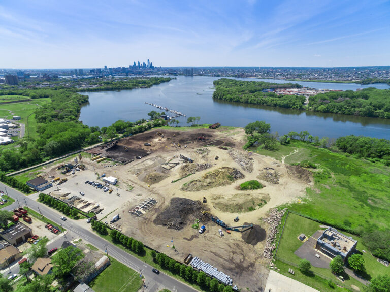
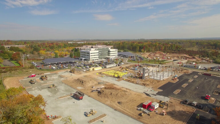
The same aerial program serves the development side. Documenting a build-to-suit or spec warehouse from site work through completion gives developers marketing assets and progress records, and gives prospective tenants a clear view of an asset taking shape. For large industrial parcels, aerial is also simply the most efficient way to show the whole site at once — and a drone inspection can document roof and site condition during due diligence without anyone leaving the ground.
Shot to Look Serious
There’s a craft to making a massive box building look like a premium asset — the right altitude, a clean angle that shows the courts and access, good light, and a composition that frames the property in its corridor. Done well, an industrial aerial looks as serious as the institutional capital that trades these buildings.
Sky View Pros shoots warehouse, distribution, and industrial property across the 8A corridor and throughout New Jersey — licensed, insured, and experienced with the airspace this part of the state involves. Got a big box that needs to look its best? Let’s fly it.
Get a Quote — info@skyviewpros.com · 917-574-7292
Frequently asked questions
What does aerial show on an industrial property that a floor plan cannot?
Circulation. A plan gives you dock count and clear height; an aerial shows whether a 53-foot trailer can actually make the turn, how the trailer court stacks, where queuing happens and how the site meets the road. For logistics tenants that is frequently the deciding detail.
Can you photograph a site while it is operating?
Yes, and it is often better that way. An active trailer court, loaded docks and moving equipment prove the site works at capacity in a way an empty lot never can. We plan flight paths around live traffic and coordinate with your site manager before anyone flies.
How do you convey highway access and corridor position?
With altitude and framing. One frame taken high enough puts the building, its access road and the interchange in the same image — which does more for a logistics prospect than any written list of drive times. New Jersey industrial value is largely about position, and position shows best from above.
Are drone flights permitted over an active industrial site?
Yes, with the right operator. Part 107 covers the flight, we file LAANC authorization wherever the airspace requires it, and takeoff, landing and timing are coordinated with your site so nothing interferes with operations. Insurance is in place before the first flight.