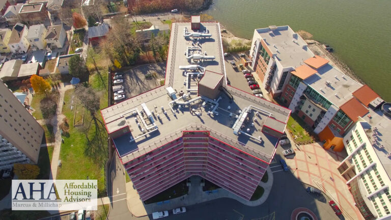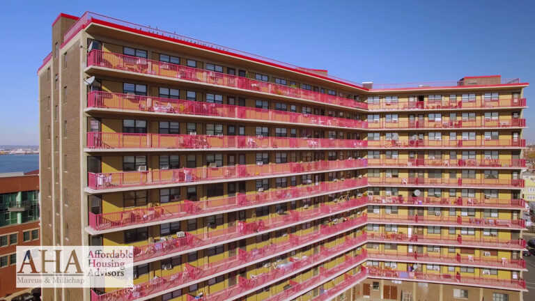
Video or stills for your commercial listing? Where each format earns its budget — and why the strongest marketing campaigns deliberately combine both.
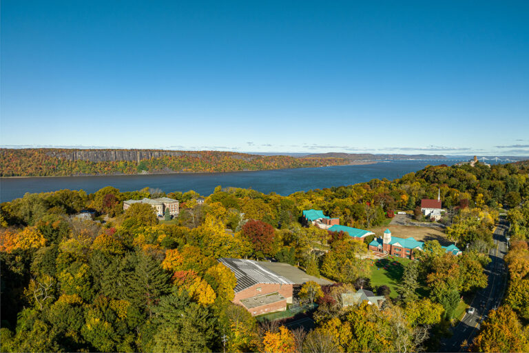
Foliage, sun angle, and booking windows all change the shot. When to schedule New Jersey aerial photography for the look you want — before calendars fill.
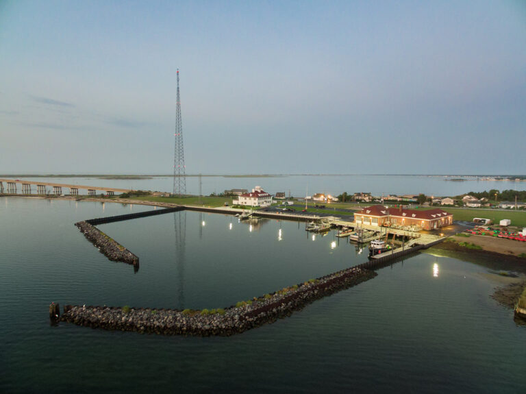
Twilight timing, deliberate angles, and surrounding context — the three ingredients that separate a striking commercial aerial from a routine snapshot.
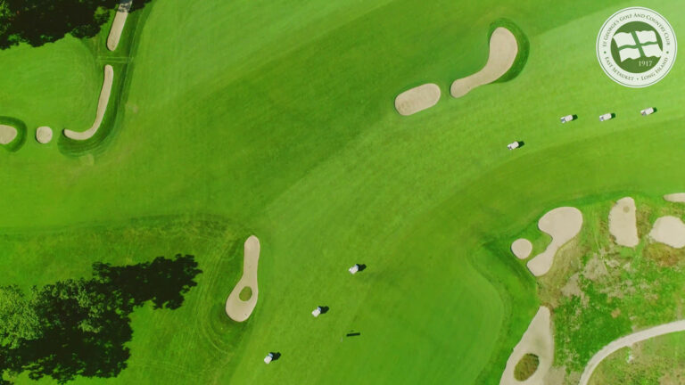
Every hole, tee to green, in one flyover video. How courses use hole-by-hole aerials to sell rounds, memberships, and outings before the first swing.
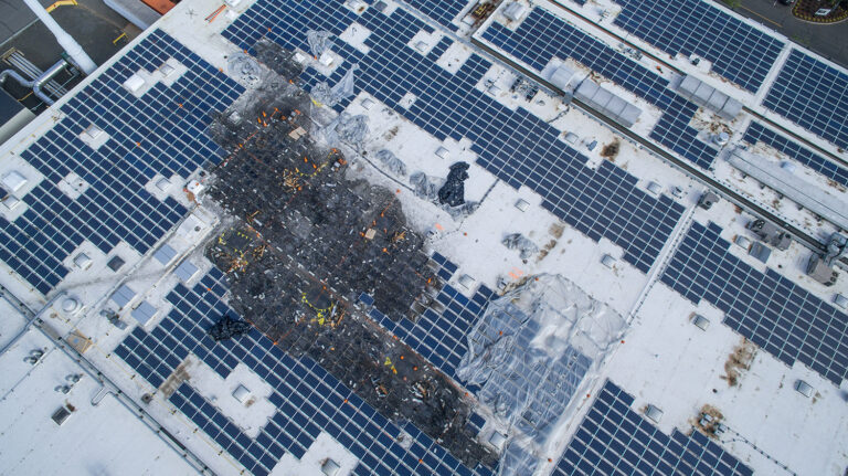
Full roof and solar-array coverage without ladders, lifts, or shutdowns — faster inspections, safer crews, and high-resolution documentation you can act on.
From Route 9 to Route 1, aerial photography reveals what makes a corridor work — traffic flow, anchors, and trade-area context you can't see from the curb.
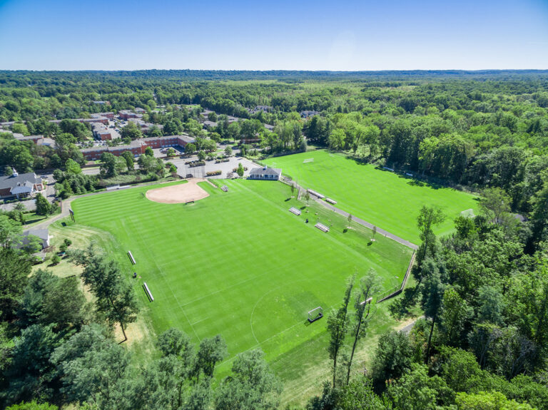
New Jersey airspace, decoded for commercial clients: controlled zones, LAANC authorizations, and everything a licensed operator handles so your shoot stays legal.
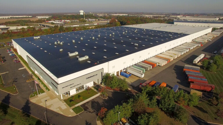
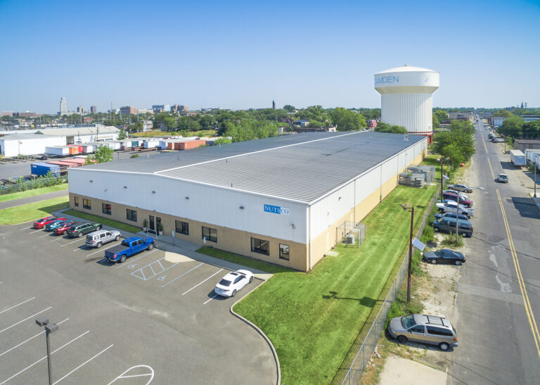
Roof condition, dock counts, yard depth, highway proximity — the aerial views that make industrial listings legible to serious buyers and brokers.
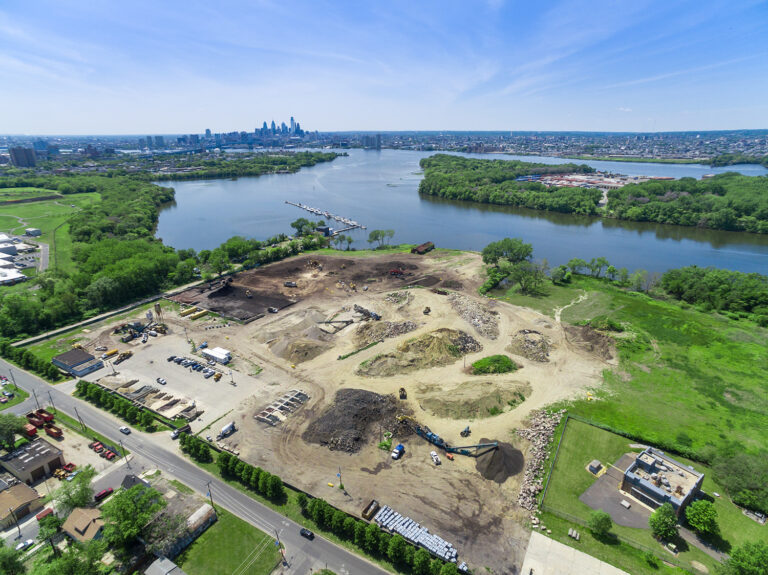
Investors and tenants can't picture dirt. Pre-construction aerials show the parcel, the access, and the surrounding market while the project is still on paper.
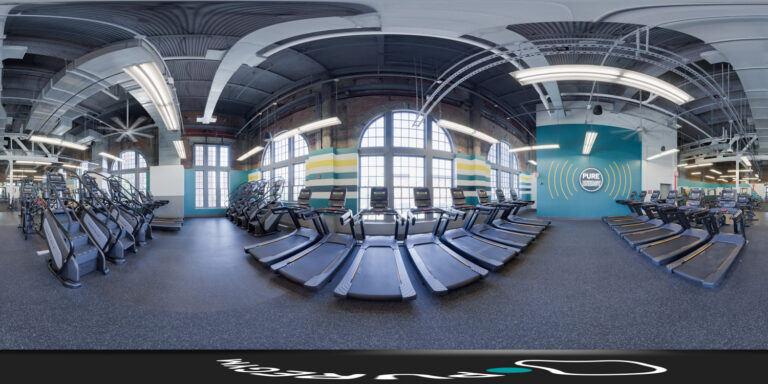
A Google Street View virtual tour puts customers inside your business before they ever visit — and gives your Maps listing an edge local competitors rarely match.
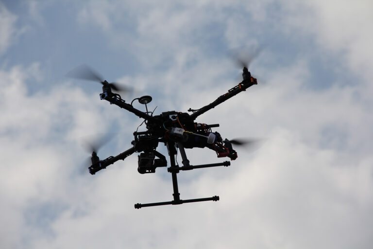
Part 107 explained in plain English: what the license covers, the real risks of hiring an uncertified pilot, and how to verify any operator in minutes.